Kayak rentals:
- You can rent a kayak, dinghy or sup at Eiland van Hein. Contactform on the website.
- At the farm Blikopdewei, at the Ringdijk near the Pondskoekersluis.
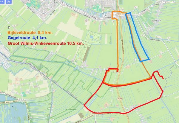
There are 3 marked routes:
- Bijleveldroute (8.4 km.)
- Gagelroute (4.1 km.)
- Groot Wilnis-Vinkeveenroute (10.5 km.)
Routes on this page:
- Route of 14 km. 3 portages.
- Kromme Mijdrechtroute (20 km.), 3 portages.
To the starting point Eiland van Hein:
Exit the A2 (Amsterdam-Utrecht) at Vinkeveen. Follow the A201 to the west. After you passed Vinkeveen you turn left on the N212 in the direction Wilnis and Woerden. After Wilnis you turn right at the roundabout. The starting point is after 50 meters on your right. There is a recration area with a playground and a cefateria. The gate to the terrain is closed during the night 9:30 pm. till 6:00 am. It can be quite busy here, so you better come early.Alternative starting points:
Pondskoekersluis at De Hoef, or at the pumping station Gemaal Dooijersluis.
Route of 14 km.
This is a combined route of the marked routes Bijleveldroute, Gagelroute and Groot Wilnis-Vinkenveenroute with a visit of the viewtower De Grote Sniep.
This route goes in the opposite direction (clockwise).
From the Eiland van Hein
you head north towards Wilnis. After a bend to the left you turn right. After a bridge you turn right on the Ringvaart.
After the bridge of the N242 you turn right at a grey industrial building.
After a bridge you turn left on the narrow canal. There are very low bridges.
After the 6th bridge you turn right.
After 600 meters you come at the nature reserve De Gagel.
There are many trenches heading south.
At the end you keep to the right and follow the canal passed a kayak pier.
At the T-junction you turn right.
At the next junction is a pumping station. You portage to the left and cross the road.
Follow the canal Bijleveld. At the next junction you turn sharp left.
You turn right at the second canal.
If you would like to visit the viewtower
De Grote Sniep you go a little further.
After a bend to the right you take the 3rd canal to the right.
After a short distance you turn left and follow the bend to the right. You see the tower on your left.
There is a kayak pier. You can get a drink or lunch here.
You return the same way and after the bend to the left you take the first canal to the left.
At the T-junction you turn right. Between the pumping station Gemaal Dooijersluis and the bridge there is a low side where you can portage.
At the Y-junction you turn right on the canal Geer.
After 3.1 km. you come at a weir that ususally is open. Just before the weir you go on the side. There is no kayak pier. You walk to the locks of the canal to the right (Oudhuizersluis).
The lock-keeper told me they don't like operating for kayaks as there is a possebility to portage.
The kayak pier on the Heinomsvaart is on the other side so you have to portage across the locks.
But if the pumping station is nog operating the lock-keeper allow you to launch the kayak at the low side between the locks and the pumping station.
You follow the Heinoomsvaart to the north. At the T-junction at the end you turn right, go under the bridge and turn right again to the starting point.
Kromme Mijdrechtroute (20 km)
In 2024 I navigated this route after nog having been here for a number of years. This time I started at the locks Pondskoekersluis along the Kromme Mijdrecht. From the locks you head east on the Kerkvaart. At the T-junction you turn right. You sail passed the houses of Mijdrecht. After a bend to the left, and right again you pass the houses of Wilnis. After a bridge you see on the left a monument where the peat dike broke on August 26, 2003. After a period of extreme drought the peat had lost its structure and could no longer resist the pressure of the water. At the sign you turn right to the Heinoomsvaart. Follow the bends to the left, and right again. After 3 km. you come at the Eiland van Hein. There is a kayak-pier and you can have a drink or a snack here. Just before the Eiland van Hein you turn right. Follow the bends and pass under the bridge. After a short distance you see trees on your right where you can carry the kayak across the dike into the polder. You pass many side canals, but you keep going straight on. There is a weir, but portage is easy. Just before a bend to the left, a sign indicates to turn left. At the end of the canal you come at a pumping-station. Turn left and after a short distance you see a kayak-pier on your right. It is located at a field between trees. There is no sign. Here you can carry the kayak across the dike to the Kromme Mijdrecht (50 meters). You turn right on the Kromme Mijdrecht. After you passed the bridge at De Hoef you turn right. You have to carry the kayak passed the locks Pondskoekersluis, but there are good kayak piers.
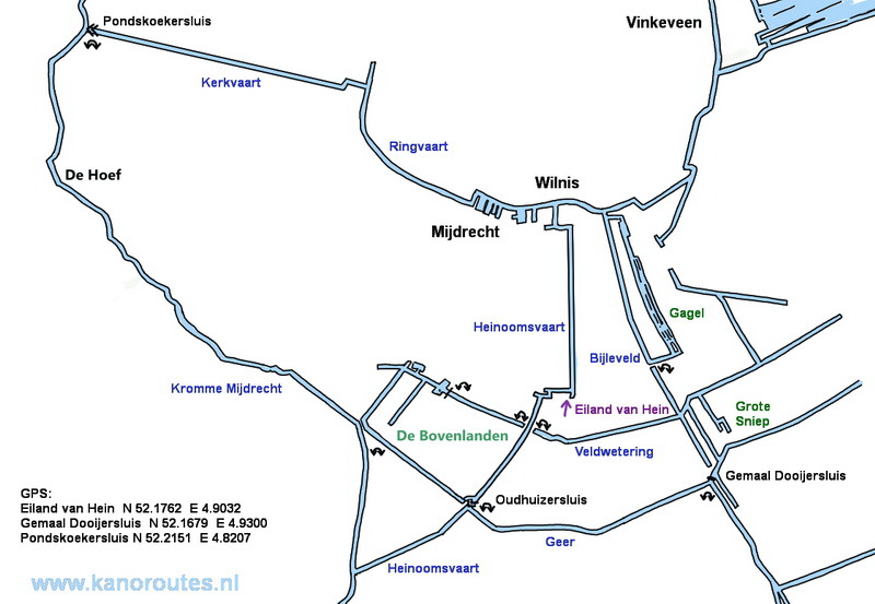
GPS:
Heinoomsvaart at Eiland van Hein: N. 52.1762 E. 4.9032
Geer, pumping station Dooijersluis: N. 52.1679 E. 4.9300
Pondskoekersluis: N. 52.2151 E. 4.8207

Oudhuizersluis: portage of 130 meters across the locks.
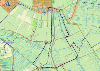
Downloadable GPS-track of 14 km.: Wilnis14km.

Downloadable GPS-track of 21.1 km.: Krommemijdrecht.
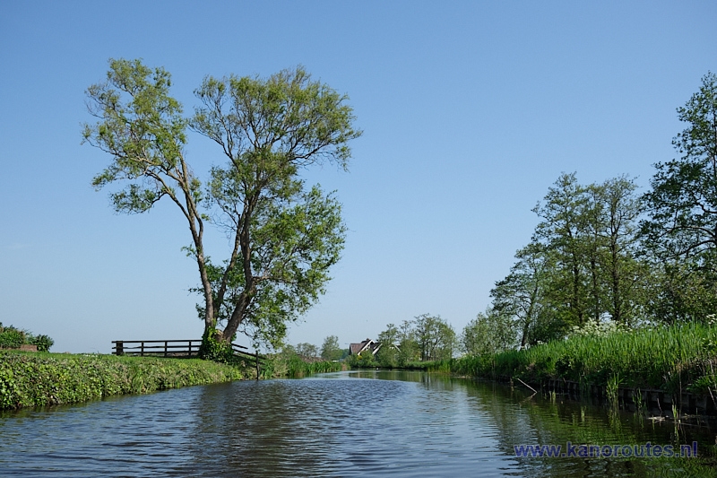
Heinoomsvaart.
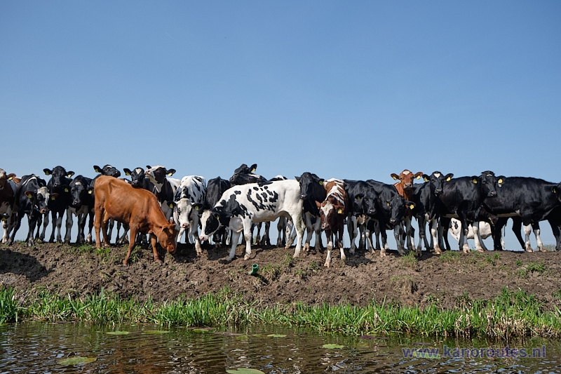
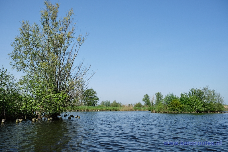
De Gagel.
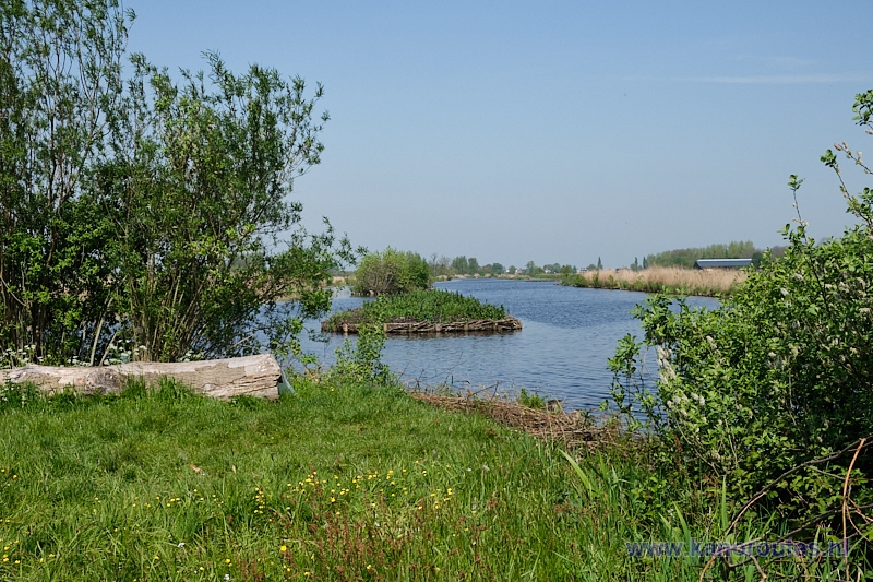
De Gagel.
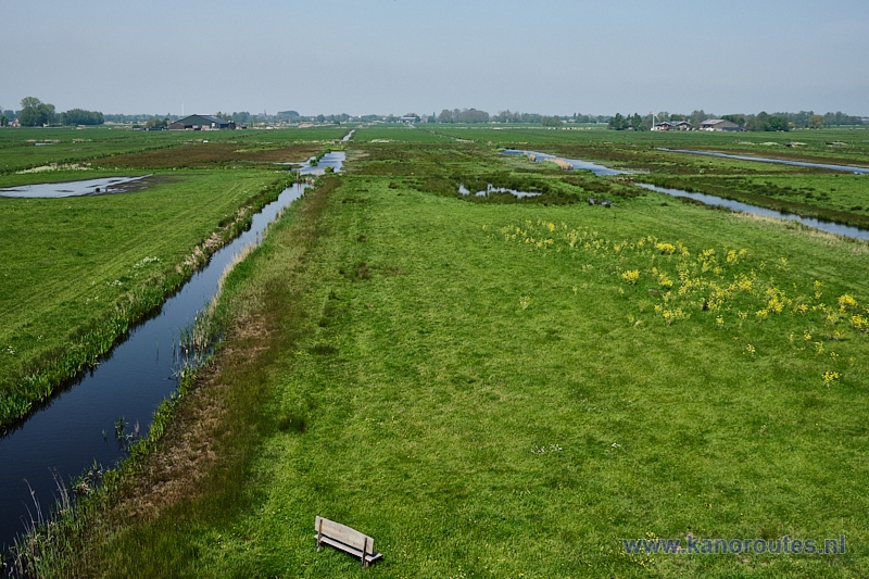
View from the Grote Sniep,
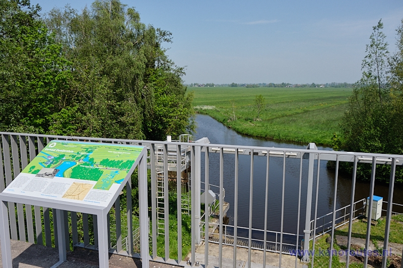
Viewpoint on the pumping station Dooijersluis.
Kromme Mijdrechtroute
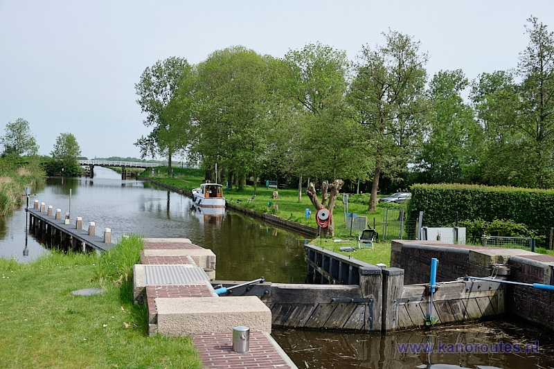
Pondskoekersluis. The starting point is on the right. The kayak-pier is shared with moorings for passers-by. Portage passed the locks is on the left. There's no access from the road (electric fence).
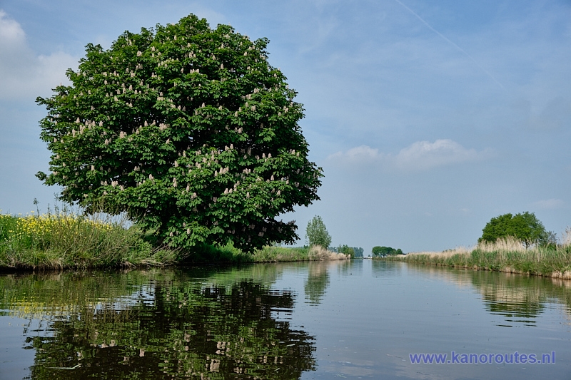
Flowering chestnut tree along the Kerkvaart.

Mijdrecht.
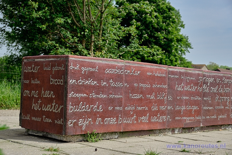
Monument at the place of the peat dike failure of August 26 2003.
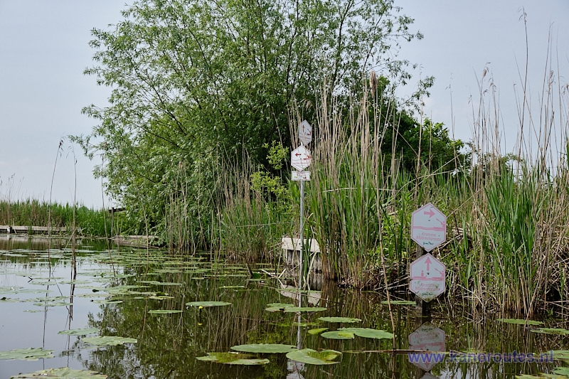
Portage from the Heinooomsvaart to De Bovenlanden.
There are floating kayak piers on both sides.
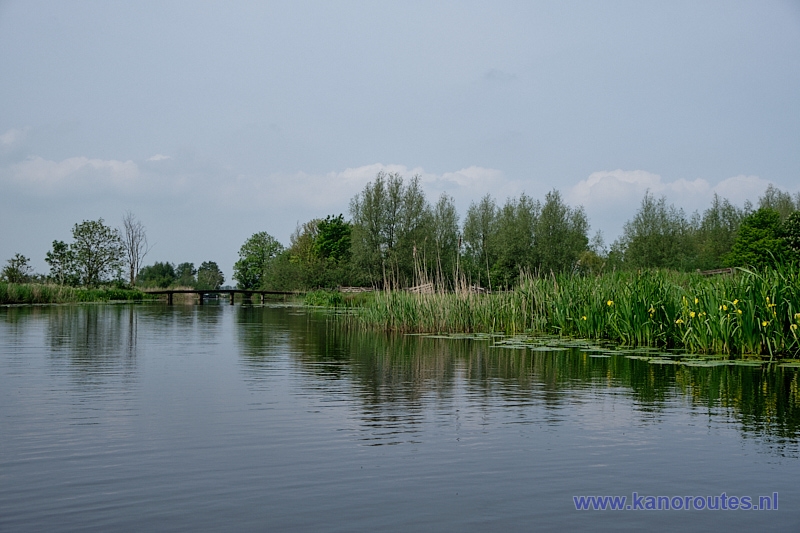
Polder De Bovenlanden.
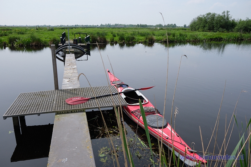
Portage at the weir in De Bovenlanden.

Polder De Bovenlanden.
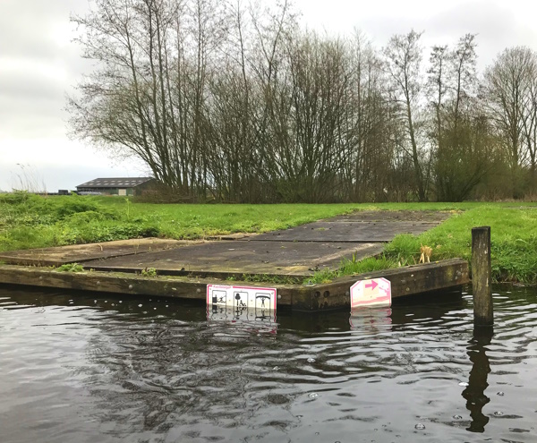
Portage to Kromme Mijdrecht.
Update 2024: the signs on the kayak-pier are no longer there.
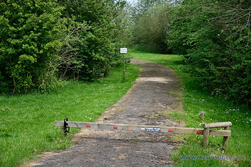
Portage to Kromme Mijdrecht.
If you navigate the opposite direction you pass the "no access-sign"
to reach De Bovenlanden.
On the shoring of the Kromme Mijdrecht there is still a small sign indicating this is a portage-point...
