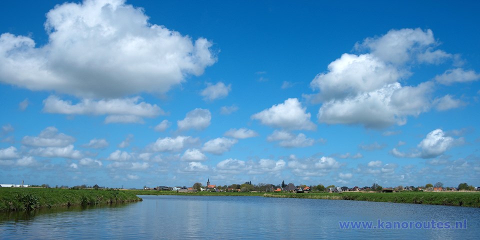
A round trip through the polder and back on the surrounding canal 12 km.
Kayak rentals:
Grootschermer: "De Jonge Ruiter", Noordeinde 12, 1843 JH Grootschermer. Tel: 0299-672320.The Mijzenpolder is situated nearby the better known Eilandspolder on the north side of Schermerhorn. It is a lot smaller and a lot more quiet. You can see and hear an abundance of birds like the black-tailed godwit, redshank, peewit, oyster-catcher, shoveler duck and skylark. However the area has free access all year round, it is advisable not to disturb the birds during the breeding-season. There is little cultivation except for a few houses along the dikes and a farmhouse in the middle of the polder. This farmhouse is situated at the end of the only road in the polder at the place where from the 1000 to 1745 AD the church Mijzenkerkje was. The polder exitst mainly of grassland and because there are almost no trees you can see the surrounding dikes in all directions. The only way to pass through the polder is by kayak. There are two places where you can enter the polder. First along Het Zwet near the church of Schermerhorn, and second at a pumpingstation between Ursem and Avenhorn. A trip around the Mijzenpolder "Round U.S.A." is about 12 kilometers.
To the starting point at the Ursemmervaart:
Exit the A7 (Amsterdam - Afsluitdijk) at Avenhorn (N243). At Avenhorn turn right in the direction Ursem. When you see a canal on your left turn left across the bridge named Fenisserbrug, and then turn left. When the road bends to the right there is a boat-ramp.From the starting point at the boat-ramp you turn right towards Schermerhorn. When you come at the village you turn right on Het Zwet. A little further there is an inlet with a kayak pier. Here you can get out and enter the Mijzenpolder on the other side of the dike. Follow the main canal. The water is rather shallow. At the end you turn right under a bridge. When you approach a farm-house you head left on the main canal. Before a bridge you turn left. At the next intersection you turn left and right again. In the distance you see Ursem. At the next intersection you turn right. Follow the main canal. There are a few bends. In doubt, head for a bridge. After a kilometer there is a short side-canal to the rigt and the main canal bends to te left. Follow the bend and follow the canal to the end. You can portage left of the pumping station to the Ursemmervaart. There you turn right and you return to the starting point.
History
In the past the Mijzenpolder and the Eilandspolder formed a peninsula that was surrounded by seawater: Schermer, Beemster and Starnmeer. Between the present Mijzenpolder and Beemster was a creek named Het Zwet, that connected the Beemster to the Schermer. Het Zwet still exists, but is now part of the canals that surround the polders. The The former name of the peninsula was Schermer Eylandt. It existed of peat-swamp just above water-level. Around the year 950 the soil becam dry enough to walk on it. In the villages Heiloo and Limmen many farmersendured hard times because sand from the dunes was blown over their farmlands frequently. The moved to the peninsula and started a new life cultivating the peat-swamp. But peat mostly exists of remains of plants and is like a spounge: As long as it is wet it has a certain volume and carrying capacity. The first farmers started digging canals to let out the water. But the result was that the peat dried out and compacted. Because of compacting and oxidating the soil can lower for as much as two meters. When the land lowered the surrounding water became a threat. Then dikes were made and a polder existed. When the land became lower than the surrounding water it had to be pumped away. Fortunately in that time the windmill that could pump water was invented by Leeghwater. When also the Beemster and the Schermer became polders, the land of the Mijzenpolder and Eilandspolder was higher of that in the surrounding polders. The many canals keep it from further drying out.

GPS:
start boatramp: N 52.6132 E 4.9474
Ursemmervaart: N 52.6172 E 4.9315
Schermerhorn: N 52.6015 E 4.8924
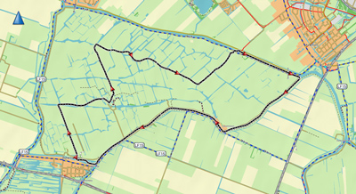
Round trip of 11.6 km.
Downloadable GPX-track: Mijzenpolder.
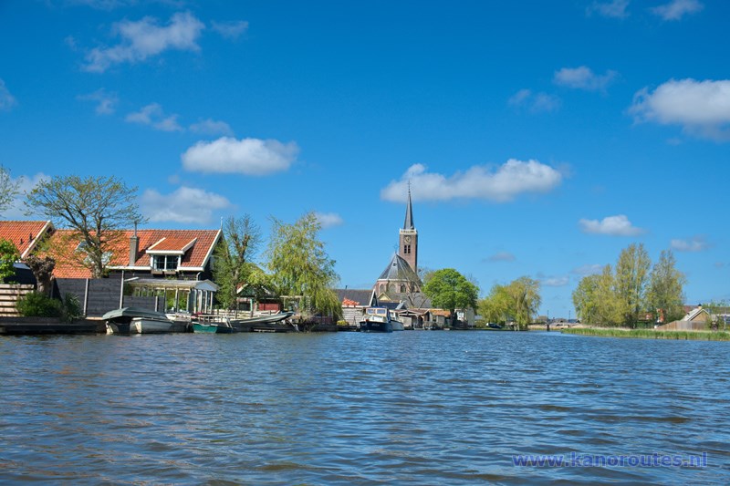
Het Zwet at Schermerhorn.
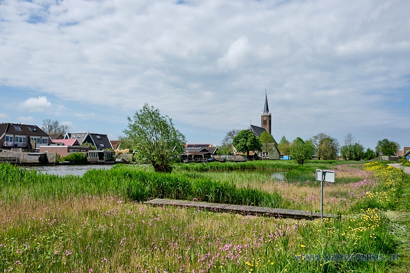
Kayak-pier at the Zwet in Schermerhorn for portage to the Mijzenpolder. The kayak-pier on the other side is nog longer there. But there is a low side.

Mijzenpolder at Schermerhorn. There's no kayak-pier.
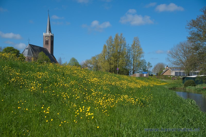
Schermerhorn.
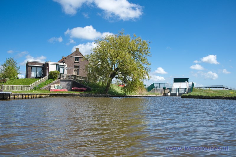
Portage to the Ursemmervaart next to the pumping station.

