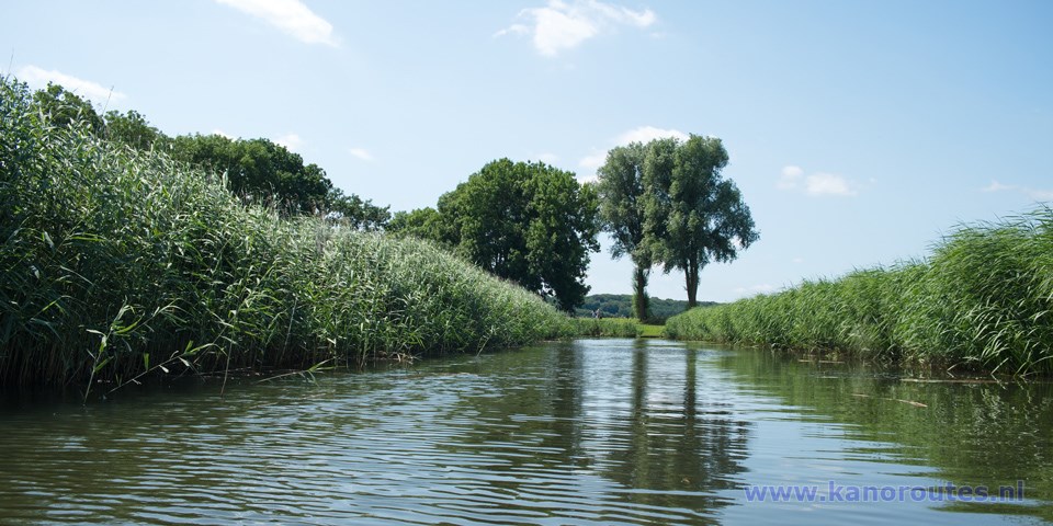
On the Valleikanaal there is a light current to the north, but it is no problem to navigate upstream.
Between Leusden and the end of the Valleikanaal near Rhenen (33 km.) there are 21 kayak piers for stops on the way and portage passed the weirs. The weir De Roffelaar is the only place without kayak-piers. On the north side of the weir getting in and out is a bit difficult because of the high sides, but on the south side it is easy.
Kayak rentals:
- Kanoverhuur Veenendaal Tel. 0318-526584
- Kanoverhuur Scherpenzeel, Brinkkanterweg 20, Scherpenzeel. Tel. 06-53346651 Ineke Schimmel (op zondag gesloten)
Veenendaal to the end of the canal near the Grebbeberg and back is 23.8 km.
There is one weir, so you have two portages.Starting point along the Sportlaan in Veenendaal.
Leave highway A12 at exit 23 Veenendaal West. There are fast-food restaurants at the junction, but only Mc Donalds (north of the highway) opens early. Head south on Rondweg-West. After a bridge you turn left on the Sportlaan. Just after the junction there is a parking place on your right. Opposite a building with colorful vertical stripes you find a floating kayak-pier.From the starting point you go to the right (south). After 0.9 km. you pass restaurant Mucha. When you're outside Veenendaal there is a bike-road along the canal. At km. 5.8 there is a watch-tower. There is a kayak pier at the bridge. At km. 8 from the starting point you come at a weir. There are good kayak piers, so portage is easy. At km. 9.1 there is a side-canal to the left towards Wageningen. It's just a straight canal and not very interesting. About halfway on this canal there is a kayak pier. You go straight on. The canal becomes narrower. Follow the bends and at some point you see the Grebbeberg straight ahead. Just before the end of the canal there is a kayak-pier at the health-care institution Zideris. The gate is open and you may cross the grounds to the road. From Monday till Thursday you can have coffee or tea at the restaurant. Because of Covid-19 measurements the restaurant is closed for passers-by (2020 and 2021).
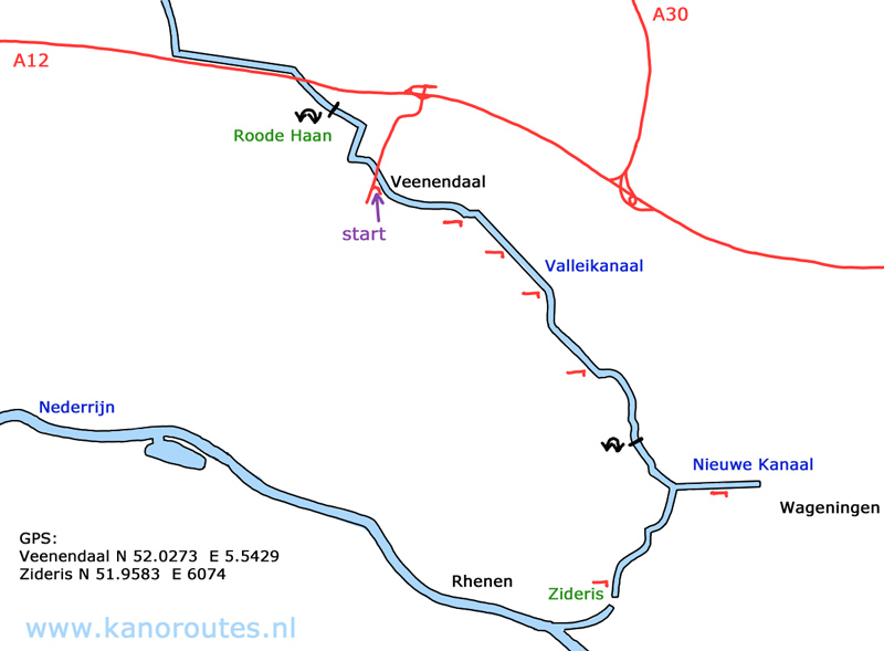
GPS Veenendaal, Sportlaan: N. 52.0273 E. 5.5429.
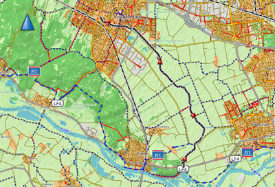
From the Sportlaan to the end of the canal and back is 23.9 km.
Downloadable GPX track:
Veenendaal.
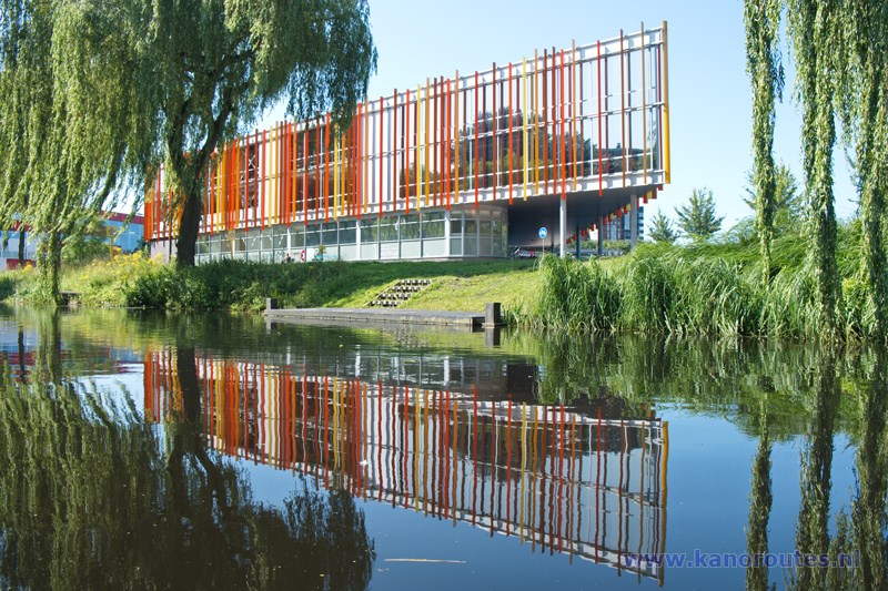
Starting point in Veenendaal along the Sportlaan.
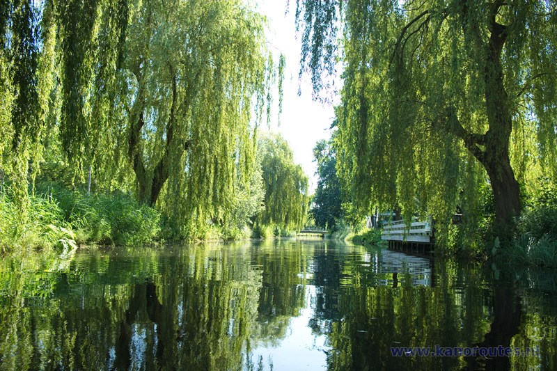
Veenendaal.
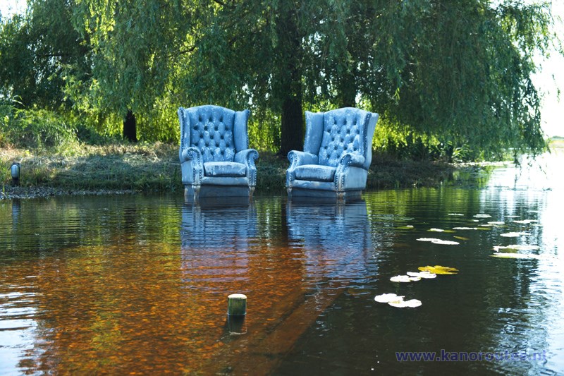
High water level in the Valleikanaal.

Valleikanaal.

View on the Grebbeberg.
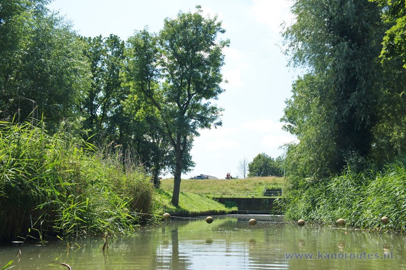
The end of the canal.
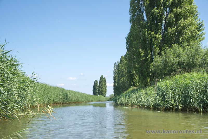
Valleikanaal.
