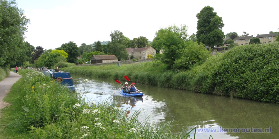
The Kennet and Avon Canal is very nice to kayak on. Especially between Bath and Bradford on Avon is very beautiful. It is difficult to pass Widcombe Locks towards the River Avon.
History
Because the sea-route from Bristol to Londen was very dangerous because of weather conditions on the Atlantic and conflicts with the French, it was decided an inland waterway had to be made. Between 1794 and 1810 the canal was built between the River Avon at Bath and the River Kennet at Newbury. The River Avon was made navigatable from Bristol to Bath and the River Kennet was made navigatable from the Thames at Reading to Newbury. Around 1950 the canal had to be closed because of lack of maintenance on the locks. After years of restoration, the canal was re-opened in 1990. Highlight of the canal is Caen Hill, where a series of 29 locks (16 of them form a staircase) had to be made. It takes a boat 5 to 6 hours to pass them raising the canal 72 meters over a length of 3 km. In 1990 a pumping station was built to recycle the water to the top of the locks. At Crofton, Marlborough, Wiltshire, there is a still working steam operated pumping station. It was built in 1807 to pump water to the summit of the canal, and is still operational to-day (besides a modern electrical pumping station). To-day the canal has a touristic function. There are many narrow-boats, fortunately most of them are moored. The towpath is suitable for bike-rides. Also many people like to walk along the canal. From the city center of Bath you can leave town without any trouble of traffic noise by following the canal.Canoe and bike rentals
at The Lock Inn at Bradford on Avon. 48 Frome Road. Tel: 01225 868068.Starting point at Semington
At this point the Wilts and Berks Canal connected once to the Kennet and Avon Canal. The canal is now derelict, but there are plans to restore the canal towards Abington on Thames. From here you can navigate to Bradford (8.5 km). This stretch of canal is rural and rather quiet.Starting point Bradford-on-Avon
Parking place at the end of Baileys Barn near the lock. From Bradford-on Avon to Dundas Wharf is 6.7 km. From Bradford-on-Avon there are more boats on the canal, and the towpath is popular by hikers and cyclists. At the Lock Inn you can have breakfast, lunch or supper. They also rebt canoes and bikes. After a few kilometers you come at the Avoncliff Aqueduct, and after 6.7 km at the Dundas Aqueduct. You turn left and navigate a short distance on the former Someretshire Coal Canal to Dundas Wharf. This canal was in use from 1805 to 1898 for transporting coal to Bath and Bristol. There's only less than half mile left of it. The locks usually are open.Starting point Bath
Beckford Rd. near Sydney Gardens. At this location you can only load and unload your kayak, as the maximum stay is 1 hour. You can park free nearby, like on Syney Rd. At this point you are before the 5 locks towards the River Avon.From Bath to Dundas Wharf and back really is nice for a day-trip. The distance is 7.1 km. The scenery is very beautiful. If you go to the side you can have nice views over the valley and the River Avon. Usually there are many people walking and bicycling on the towpath. Especially near Bath many narrowboats are moored along the canal.
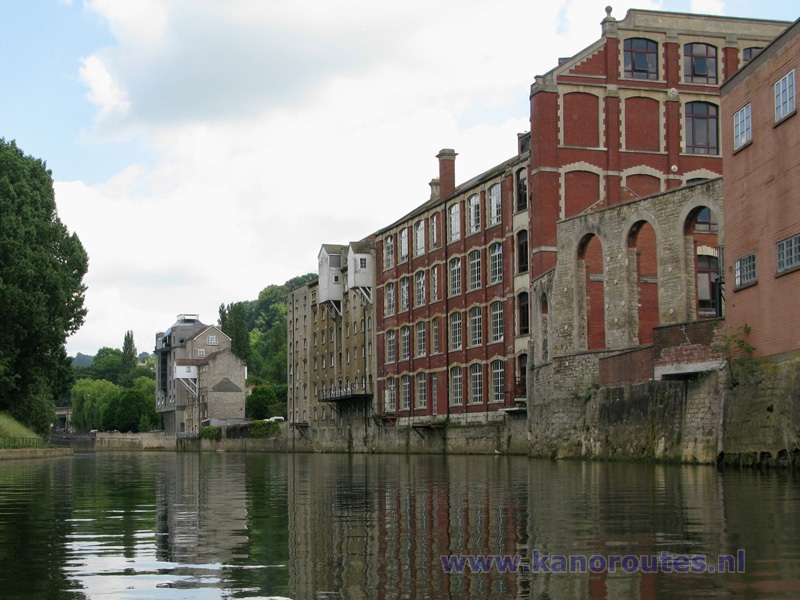
It takes some efford to pass Widcombe Locks towards the River Avon. I places the wheels under the back end of my kayak and walked passed the locks. At Pulteny Rd. there is a narrow staircase to a tunnel under the busy road. It is not possible to take the kayak there, so you have to cross the road. Fortunately there always is a polite driver who stops to enable you to cross the road. At the river, there are stone stairs to asmall platform. This platform still is rather high, and there's nothing to hold on. So the best thing to do is walk to the right along the river. After the bridge there is a slipway made for emergencies. A sign says "Keep clear for emegency access to river". Here you can sneak trough. You can paddle a short distance upstream towards the city center of Bath. Downstream you pass some old warehouses before you leave the city. The river is rather wide, and usually there is very little current.

GPS Bath: Lat. 51.3876 Lon. -2.3483
GPS Bradford: Lat. 51.3394 Lon. -2.2511
GPS Semington: Lat. 51.3482 Lon. -2.1454
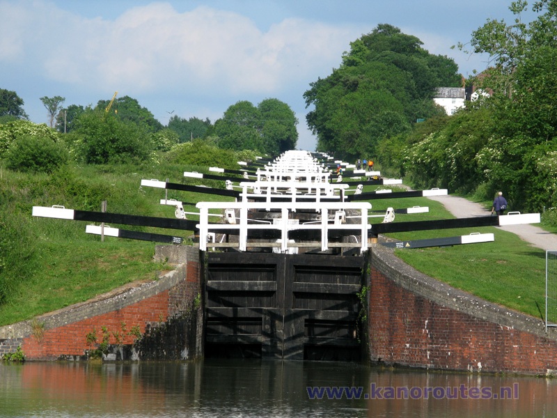
Caen Hill: staircase of 16 locks, part of a series of 29 locks.

Bradford-on-Avon: The Lock Inn.
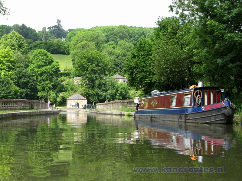
Dundas Aqueduct.
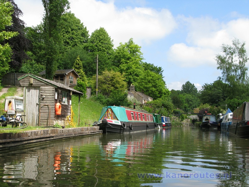
Dundas Wharf.
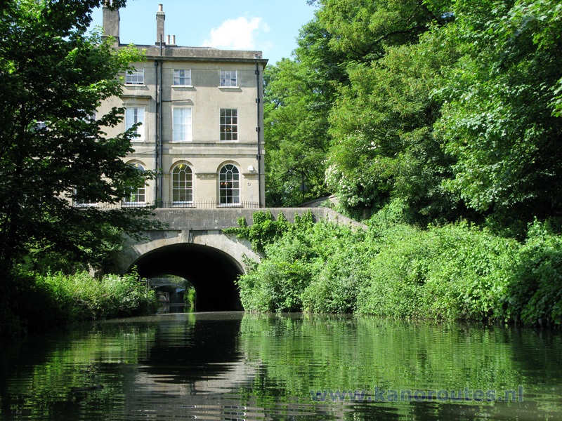
Bath.
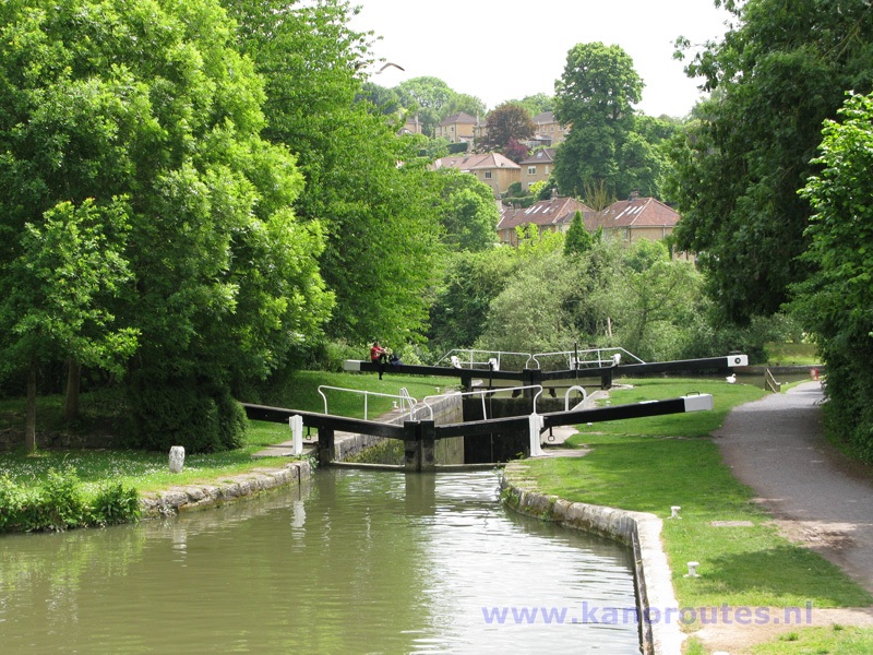
Widcombe Locks: after a series of 6 locks the canal you come at the river Avon.
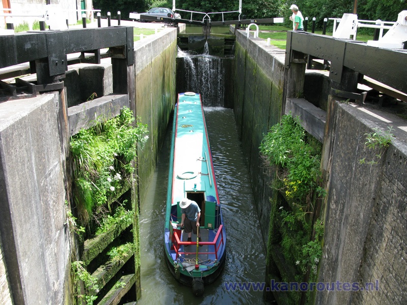
The second last lock before the river Avon: Deep Lock.

This is where the Kennet and Avon Canal connects to the river Avon.
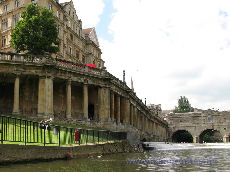
Bath: end of the navigatable part of the Avon in the center of Bath.

Railroad bridge across the Avon.
