Distances:
A trip around the city center from the Moerweg is 16.8 km.An extra trip to the locks in the Afwateringskanaal is 5.6 km.
An extra trip to the Van Stolkpark or Westbroekpark is 6 km.
An extra trip around Clingendael is 4 km.
You can see most of the city (except Clingedael) by following the GPS-track of 32.7 km.
Kayak rentals: 'Kanoverhuur Den Haag' along the Dunne Bierkade, tel.: 070-4276889.
Starting point Moerweg
In the whole city is payed parking, and parking space is difficult to find. At the Moerweg you can park for free till 8:00 p.m. (situation 2021).Follow the A4 and take exit 11 Rijswijk. Head north on the Prinses Beatrixlaan. After 3 km. you come at a roundabout with traffic-lights. Turn right on the Erasmusweg. At the next traffic-lights you make a U-turn. Beware the on-coming traffic, as they also have a green light. Just before the roundabout you turn right on the Moerweg. It is a one-way street, with parking places on the left. Access to the canal is easy, but avoid the grass as it is used by dogs...
The Hague
From the starting point you go to the right (north-west). You pass house-boats. At the T-junction you turn sharp right on the Laakkanaal. After a bend to the left and then to the right you come at a T-junction. You turn left on the Laakhaven. At the end you see on your left an old small building, the former habour office. At the T-junction you turn left on the Zieke towards the city center.At the next junction you can make a tour around the city-center (waypoint 72). I advise to do this clockwise, because in the afternoon you have the best light for a view on the skyline. So you turn left here on the Zuidsingelsgracht. You pass the kayak rental place. Further on it is named Houtzagerssingel. After a bend to the right, then to the left and then to the right again you'r on the Zoutkeetsingel. At the T-junction (waypoint 75) you can turn left for a detour to the locks in the Afwateringskanaal (waypoint 80). There is a kayak-pier where you can take a brake. For a round trip you turn right at waypoint 75. After a bend to the left, and then to the right you're on the Hooigracht. At the end of the Hooigracht there is a bend to the right, and after that you turn left on the Korte Nieuw Uitleg. The next intersection (36) is under a bridge. You can turn left here on the Koninginnegracht to the parks. Further on the Koninginnegracht is named Het Kanaal (The Canal). At the end you can turn left to the lake in the Van Stolkpark, or a little further you can turn right to the Westbroekpark. Some maps indicate you can make a round here, but the side-canals are all dead-ends. On the way back you can turn left (waypoint 46) and navigate under a building. This is a dead-end canal, and as the building is in decay I'm not sure if it safe to sail past there. At waypoint 36 you head south-east passed the Malieveld. Here you have a nice view on the sky-line. After a bridge you're on the Oostsingelsgracht. After a bend to the right you're on the Uilebomen. When you come at waypoint 72 you turn left and return to the starting-point.
Clingendael
Follow the directions above to waypoint 72.Then you turn right on the Uilebomen and follow the bend to the left. After you passed the Malieveld you turn right at waypoint 36. At the end of the Malieveld you go straight on under a large bridge. Then you keep going straight on passed the woods Haagse Bos, and take the third canal to the left on the Tankval. Then take the second canal to the left. At the Y-junction (waypoint 32) you turn right and then left again. Take the second canal to the right (waypoint 38). On your left you see the Japanese Garden. At the T-junction you turn left and at a small lake you turn right. You pass through the tunnel under the house. At the next junction you turn left. At the second junction (waypoint 32) you turn right, an at a T-junction you turn left. At the next T-junction you're at the main road Van Alkemadelaan, and you turn left. After a bend to the left you turn right and continue along the Van Alkemadelaan. At the next T-junction (waypoint 30) you turn right and you head back to the city center.

Starting point at the Moerweg: GPS N 52.0517, E 4.2993.

Downloadable GPS-track of The Hague (32.7 km.): The Hague.
Starting point Moerweg.
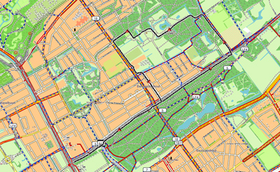
Downloadable GPS-track of Clingendael: Clingendael.
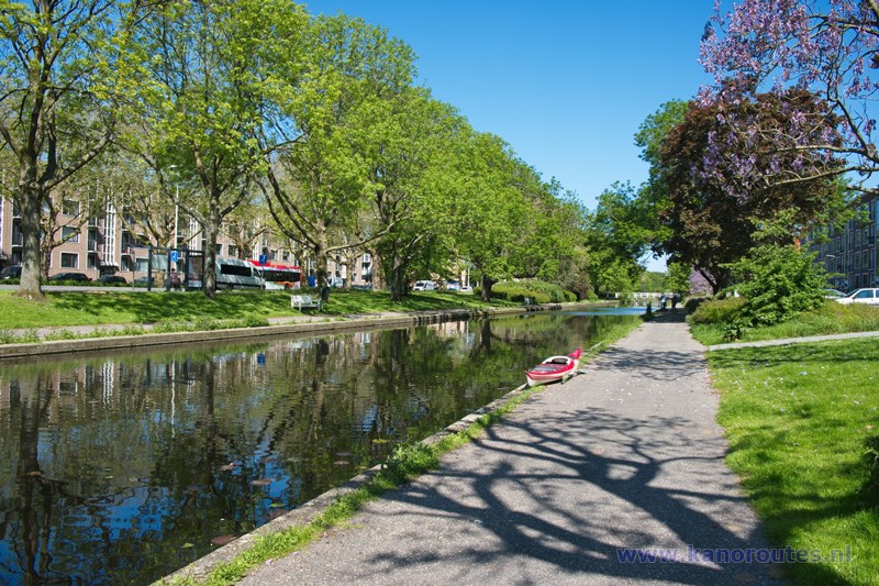
Starting point at the Moerweg.

Laakkanaal.
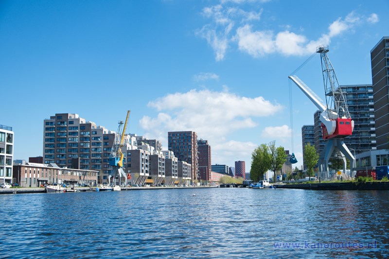
Laakhaven.
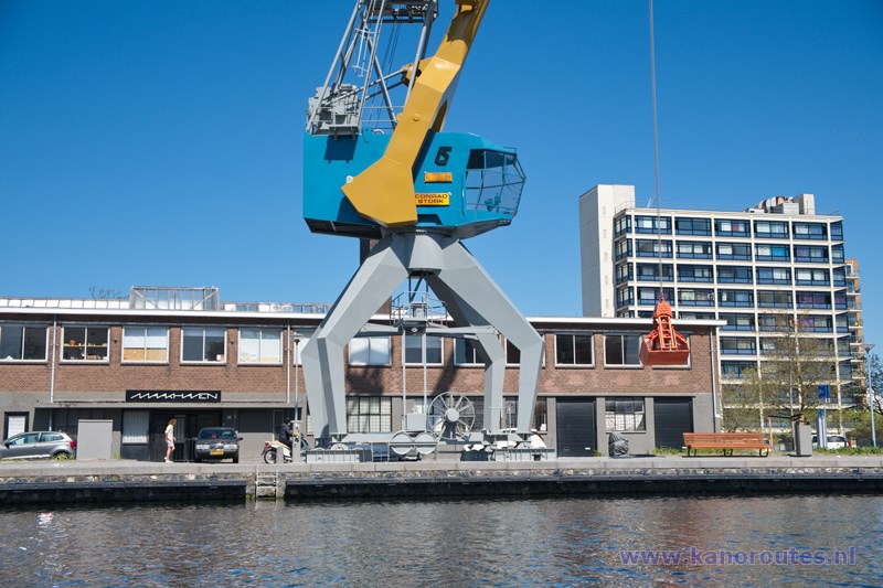
Laakhaven.
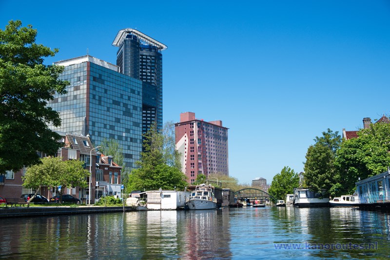
Zieke.
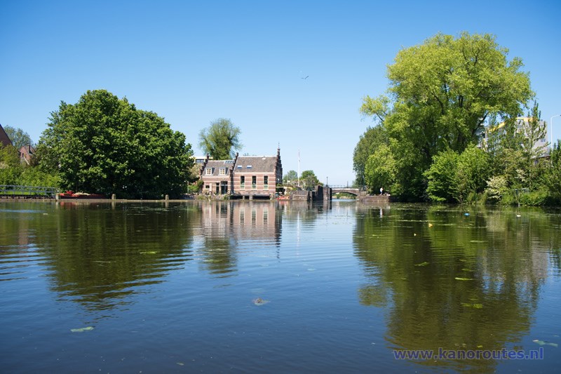
The locks in the Verversingskanaal are no longer in use.
A pumping station was built in 1977 and the navigation to the harbor of Scheveningen was no longer possible.
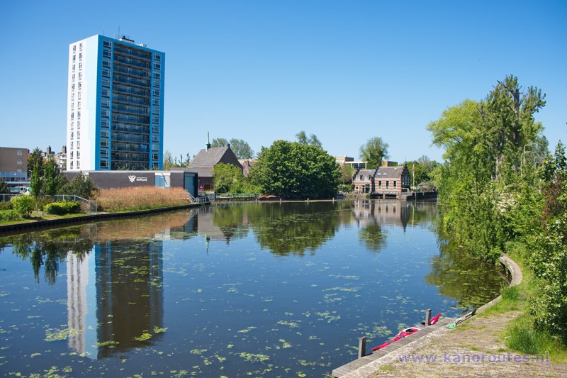
Kayak pier near the locks in the Verversingskanaal.

Hooigracht.

Korte Nieuwe Uitleg.

Waterway behind the Nieuwe Parklaan.
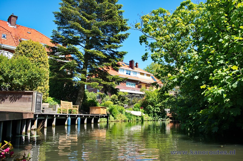
Waterway behind the Nieuwe Parklaan.
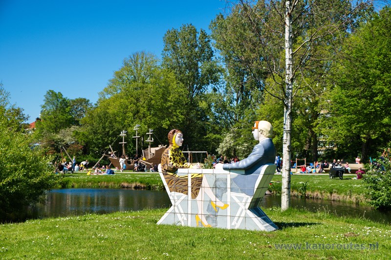
Westbroekpark.
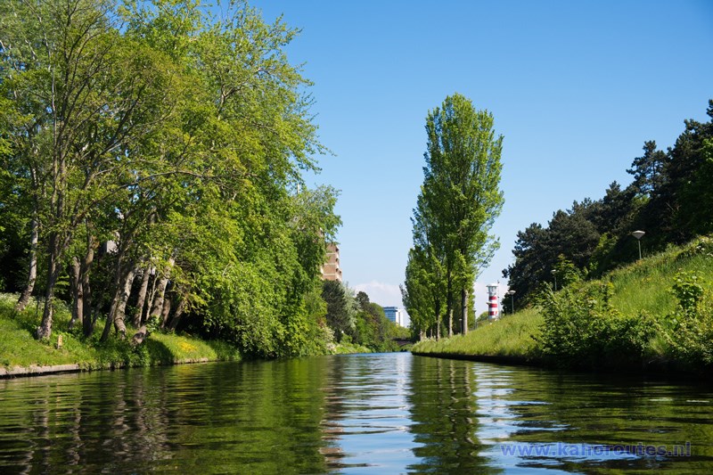
Het Kanaal near Madurodam.
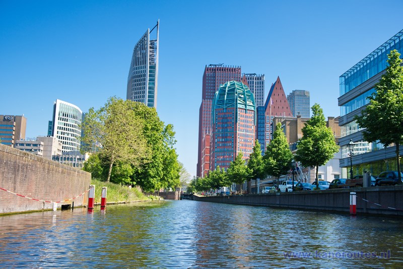
Prinsessegracht.
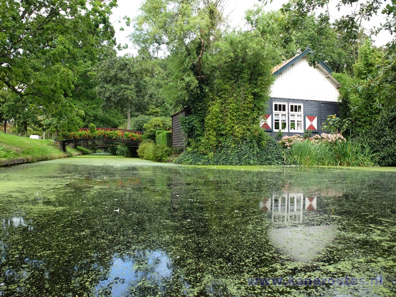
Park Clingendael at the Van Alkemadelaan.
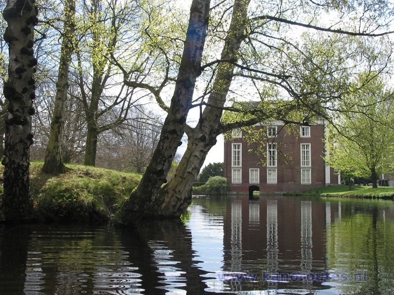
The house Clingendael on the estate. You can paddle through the building towards the Japanese garden.
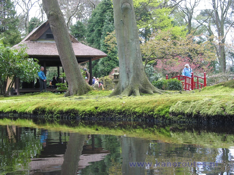
On the estate is a Japanese garden. It is rather small, but worth visiting. It is open to public only 6 weeks a year in the spring. Access only on the path. Mooring and walking on the moss is strictly forbidden!
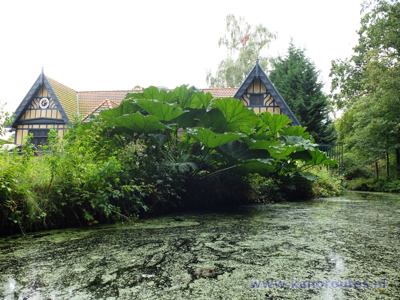

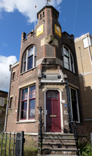 Port Office The Hague.
This monument was built in 1900.