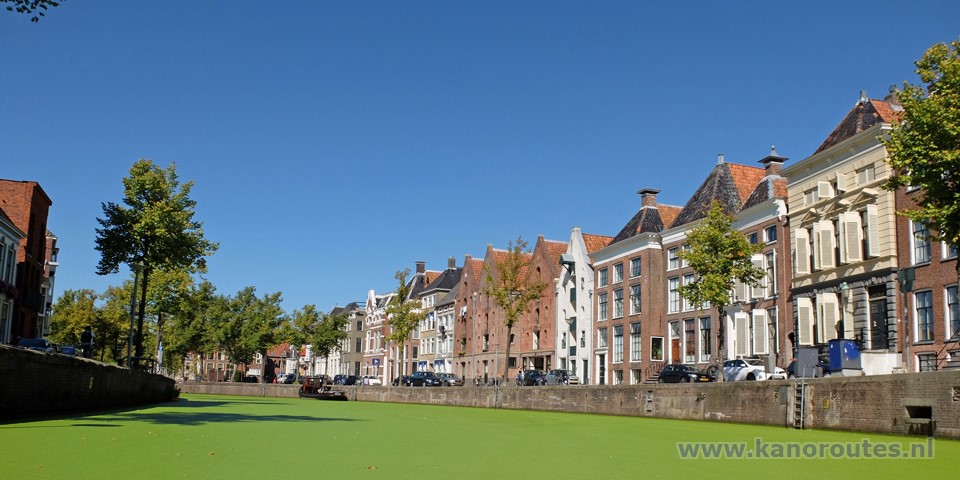
The lake
Paterswoldse Meer came to exist in the 16th and 17th century after peat was dug out.
In the area north of the lake the people of Groningen started to grow vegetables, while the southers part became recreational.
As the city expanded the alotgardens disappeared and now the city has expanded to the lake.
The lake is connected to the former river Drentsche Aa, now called Hoornsediep.
The Hoornsdiep connects to the Noord-Willemskanaal that leads towards the city center.
Kayak rentals:
- Paterwoldse Meer: Verhuurbedrijf Jachthaven Zuidwesthoek, Meerweg 247, 9752 XD Haren. Tel.: 050-3094444.
- Watersportverhuur Bedrijfnat, Herebrug 1, 9711 GB Groningen is situated under the Herebrug opposite the railway station in the center of Groningen.
Tel. 06-25136629.
Starting point at the boatramp Hoornse Meer.
From Drachten exit highway A7 at exit 36 (Ring West), and then turn right on the Laan Corpus Den Hoorn.At the next roundabout you go straight on.
At the traffic-lights you turn right on the Paterwoldseweg.
At the next roundabout you go straight on. After a bend to the right you turn left to the recreation area, and then turn left again.
Follow the Kaapse Baan towards the marina. The boatramp is on your left.
Route of 18 km
The norhtern part of the Paterswoldse Meer is named Noordermeer. From the starting point you turn right on the Noordermeer and navigate around the marina. You head south-east passed the islands De Lange West and De Zweerden. Before the island De Fokken you take the passage to the right. Then you come at the large lake Paterswoldse Meer. You can make a round or turn left towards the eastern side. There you see the windmill De Helper. You head towards the windmill and then turn right into the Nijveensterkolk. At the locks you portage to the Hoornsediep. It is a bit difficult as the narrow path makes a sharp bend and you may need to lift the kayak over the gate. At the Hoornsediep there is an old kayak pier a little to the right.You turn left on the Hoornsediep. You pass the clubhouse of kayak club Groninger Kanovereniging. A little further there is a public kayak pier. At the Noord-Willemskanaal you go straight on. A little further you can turn left again on another part of the Hoornsediep. There is a narrow passage for kayaks only. You pass several houseboats. The ones on the right have their own private ferry as there is no road there. When you come at the Noord-Willemskanaal again, there is a low side on the left wher you can take a break.
You head north towards the city center of Groningen. At the next intersection you see locks on your left. You go straight on on the canal named "A". On the corner is the clubhouse of rowing club De Hunze. They have a large floating pier. But u little further there is a public pier on your right with a public toilet. At the T-junction you turn right on the Noorderhaven. Further on the canal is named Spilsluizen, af after the bend it is named Schuitendiep. At the next intersection you turn right on the Verbindingskanaal. Under the bridge Herebrug is the kayak rental place 't Peddeltje. A little further you pass the Groninger Museum. Then you turn left on the Noord-Willemskanaal. You navigate the same way back to the starting point.

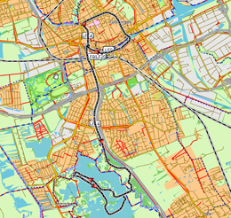
Downloadable GPS-track (18 km) to the center of Groningen.
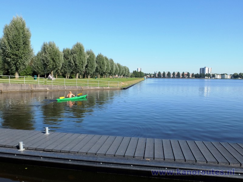
Starting point at the boatramp on the Hoornsemeer. This is the northern part of the Paterwoldse Meer.

Passage along the island De Fokken.

The windmill De Helper marks the entrance of the locks in the Nijveenster Kolk.
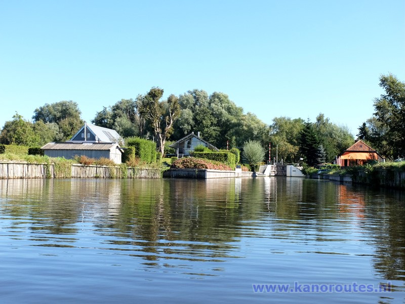
Nijveenster Kolk.
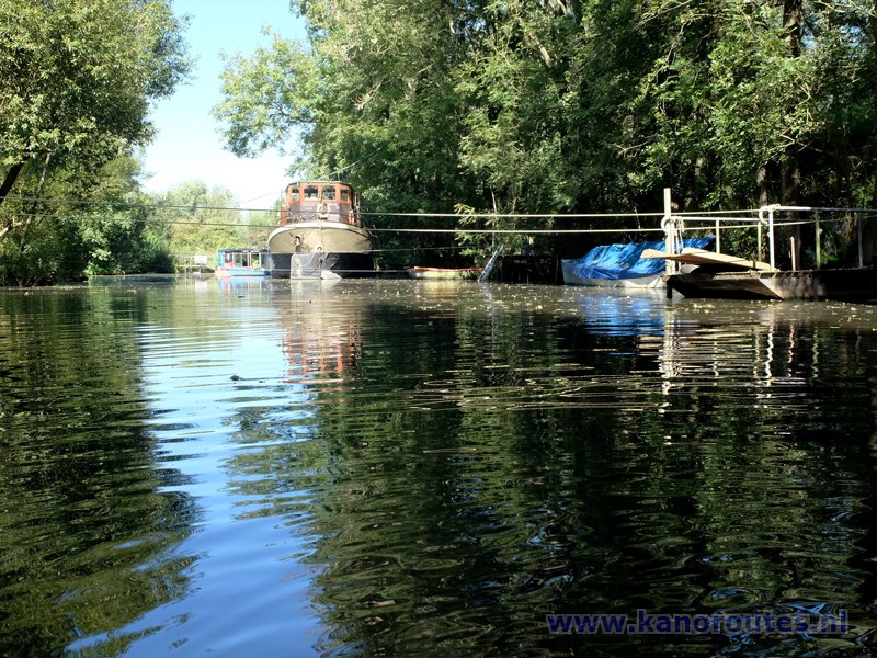
Hoornsediep with private ferry to the houseboats.
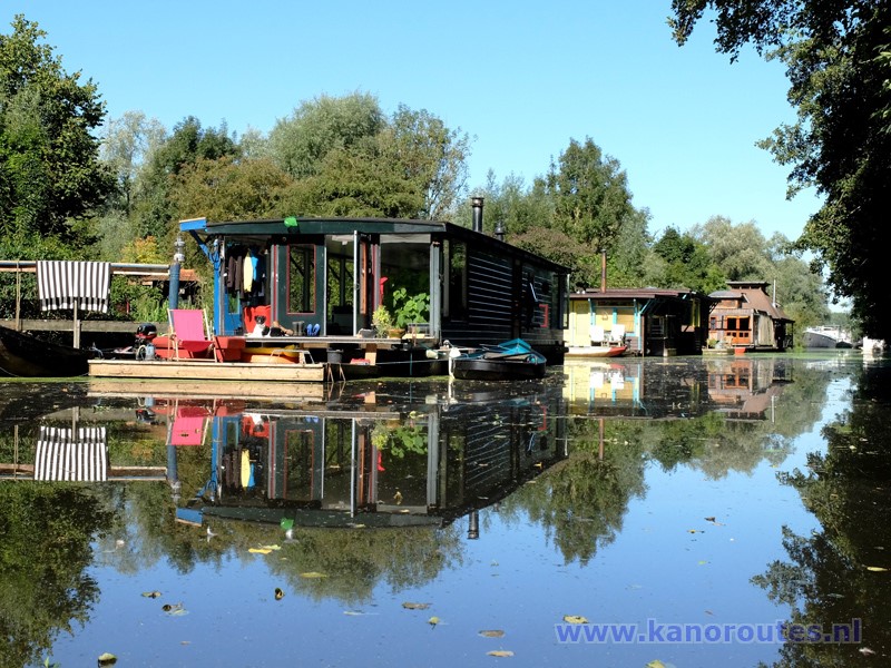
Hoornsediep.
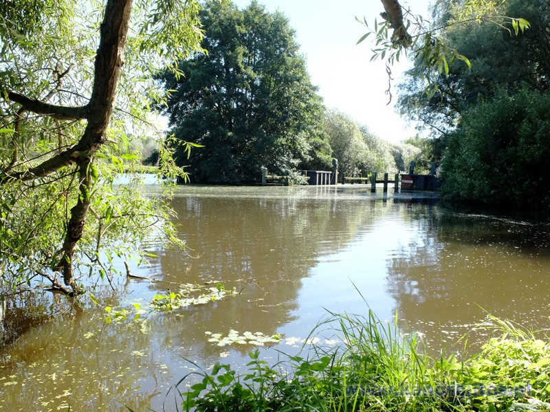
Resting point at the entrance of the Hoornsediep.

Entrance of the canal named "A".

A.

Noorderhaven.
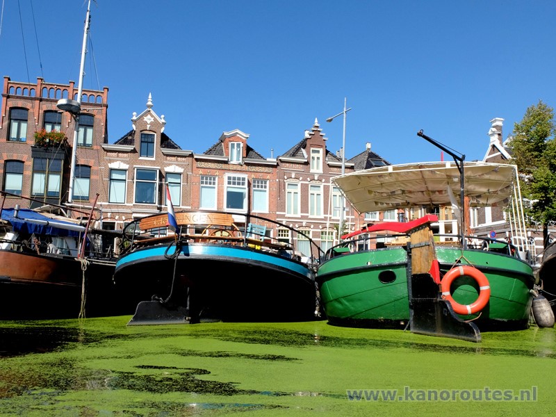
Noorderhaven.
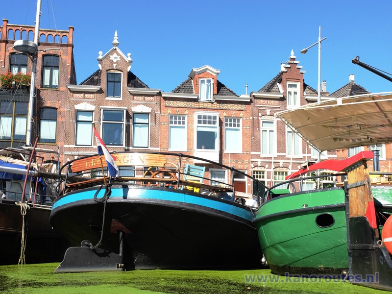
Noorderhaven.
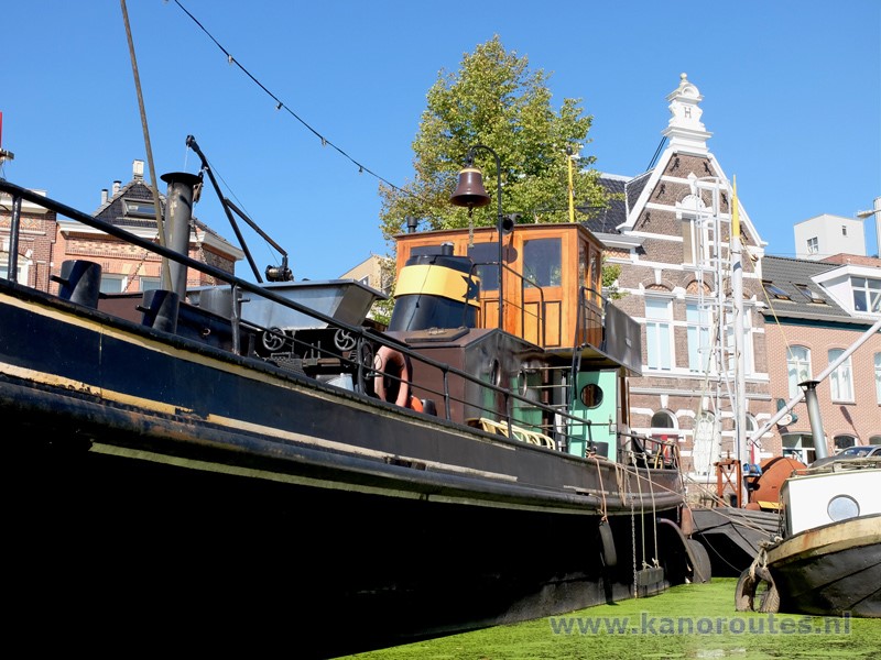
Noorderhaven.
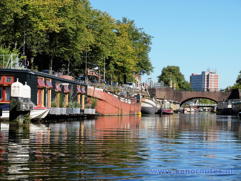
Spilsluizen.
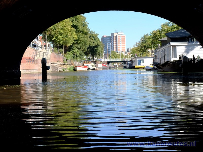
Spilsluizen.

Schuitendiep.

Verbindingskanaal.
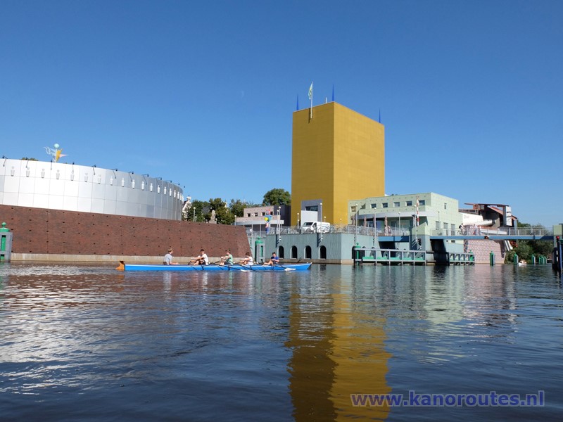
Groninger Museum at the Zuiderhaven.

