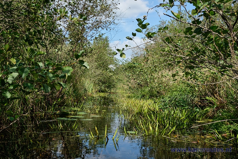
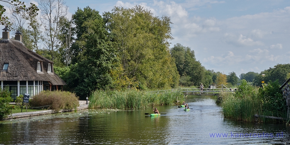
A round trip passed the village Nederland is 14 km.
The route can be extended to Dwarsgracht and Blokzijl to 28.1 km. (GPS-track).
Kayak rentals:
- Pieter Jongschaap, Kalenbergerpad 4, 8377 HL Kalenberg.
- Restaurant De Otterskooi, Dwarsgracht 54, 8355 CW Dwarsgracht.
To the starting point:
Leave the N333 between Emmeloord and Steenwijk in the direction Scheerwolde. Keep going straight on through the village. Just before the bridge there is a small parking place on the right. This is a good place to launch your kayak. To the left of the bridge there is a picnic table. This is also a good place to launch your kayak.Round trip of 14 km:
You head south under the bridge. On your right you see Camping De Wilgenhof. After you passed the side-canal towards Steenwijk you pass the village Muggenbeet. There is a restaurant with a terrace directly along the waterside: Hotel Café Restaurant Geertien. In the village is Camping Muggenbeet. You go straight on until you come at the lake Giethoornse Meer. Turn right and follow the shallow water along the side. You enter the wide canal Noorderdiep that leads towards Blokzijl. If you want to avoid the Giethoornse Meer you can turn right in Muggenbeet. There is a portage point. On the right you can use the side of the private boat-ramp of aluminum boat builder Qwest, on the other side there a kayak-pier. After the portage point you turn left to the Noorderdiep.From the Noorderdiep you turn right on the Roomsloot heading north. You pass under the bridge of road N333. After a bend to the left you come at a small lake. Keep to the right towards the village Nederland. At the T-junction you turn left. A little further you pass a kayak-pier at a bird observation tower. I took a look, but there were no birds to be seen and the view is not interesting either. You go straight on following the Heer van Diezenvaart on the edge of the Weerribben. On your right you pass another kayak-pier. Entrance to the side-canal is prohibited. After a bridge you keep right on the wider canal Heuvengracht. You can choose to turn right a little further and pass under a bridge. This is a narrow canal for kayaks only. At the end of the summer passage is difficult because of the plants. A little further there is a lake right of the Heuvengracht, the Diepe Wiede. The water is deep, and you can go for a swim here. The pier was (August 2024) in poor condition. There was an improvised kitchen ladder attached to the pier to get out. From the lake you turn right and follow the bend to the right on the Wetering. From here it's 3 km. back to the starting point. On the way you pass the pancake restaurant "An't Waeter".
Round trip of 28.1 km. (GPS-track)
This route adds a round through Dwarsgracht and a round to Blokzijl to the route of 14 km.In Muggenbeet you turn right and after a portage point you turn left. When you come at the wide canal Noorderdiep you turn left. At the lake Giethoornse Meer you go straight on towards the island. On the west side of the island there is a bay with a kayak pier. Access to the island is not possbile as there is dense vegetation and the ground is marshy. You pass the island and cross the lake to the east side. Then follow the side to the south and then you turn left on the canal Thijssengracht. This is a long straight canal that leads towards Giethoorn. But after a short distance you turn right. You pass a kayak-pier and at a T-junction you turn left on the Brouwersgracht. At the next intersection you follow the bend to the right and pass through the village Dwarsgracht. You pass the restaurant De Otterskooi. A little further you see on your right the the oldest ash tree of the Netherlands. Take the second canal to the right in the direction Jonen. On the corner there is a low side with a picnic table. In Jonen you turn right on the main canal Walengracht. When the water becomes wider you follow the left side. To the left there is a side-canal that leads to the lake Duinigermeer. A little further you turn left on the Zuiderdiep. You cross a small lake and on the other side you portage at a road. There are no kayak-piers, but the sides are low. Some nettles may grow, however. You continue on the Zuiderdiep. At the end there is another portage point. Again, the sides are low, but there may be some nettles. You can make a small round through Blokzijl passed the locks. Then you head to the north-east on the wide Noorderdiep. Turn left on the Roomsloot, and then follow the description of the 14 km.-route above.
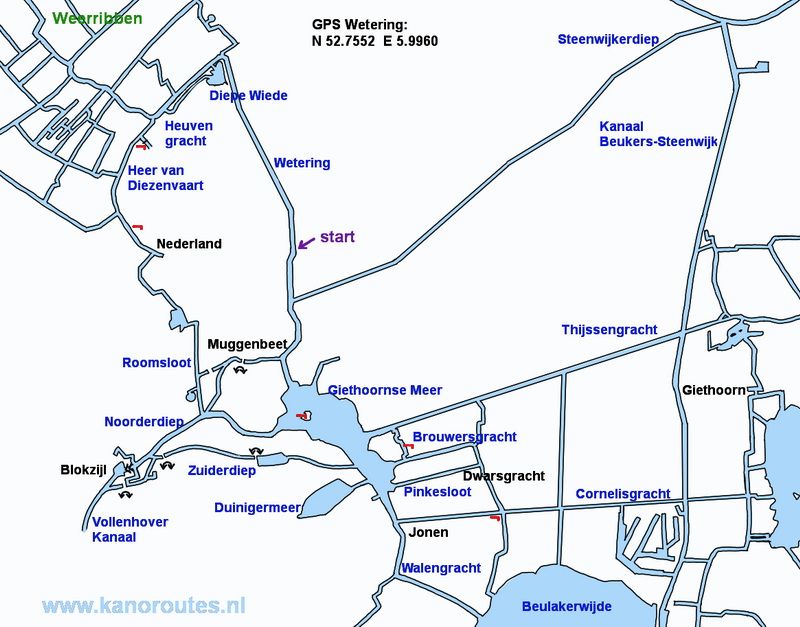
GPS startingpoint at the bridge of Wetering: N. 52.7552, E. 5.9960
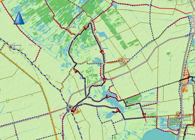
Downloadable GPS-track (28.1 km): Nederland.gpx.

Starting point at the bridge of Wetering.
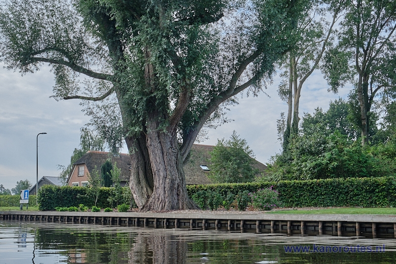
Wetering.
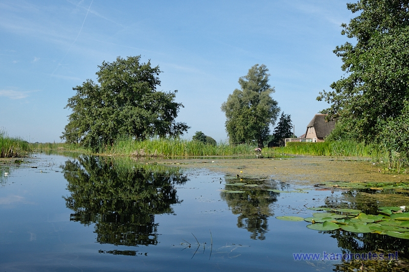
Turn left after the portage point in Muggenbeet.
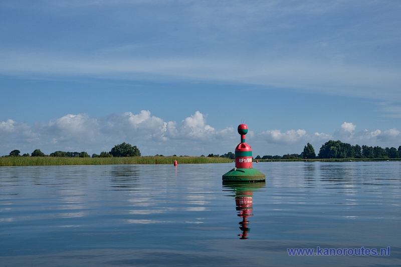
Buoy on the Giethoornse Meer.
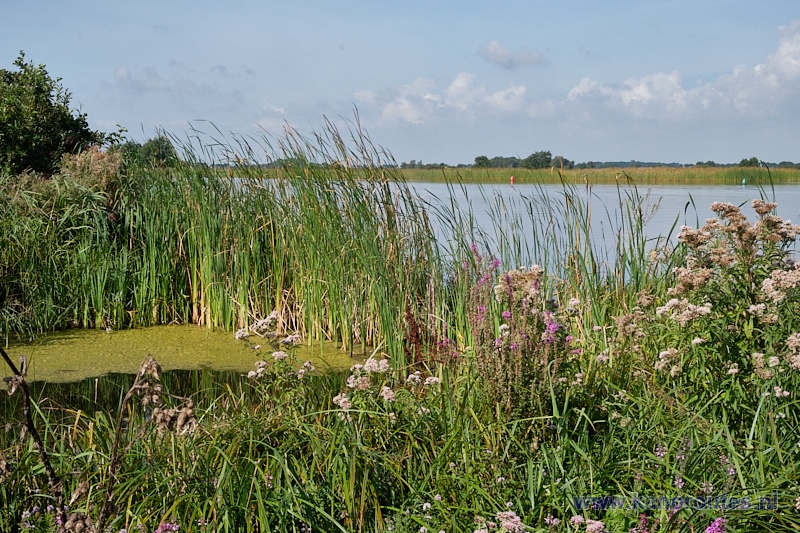
View from the island in the Giethoornse Meer.

Between the Thijssengracht and the Bouwersgracht.

View from the kayak pier along the canal to the Bouwersgracht.
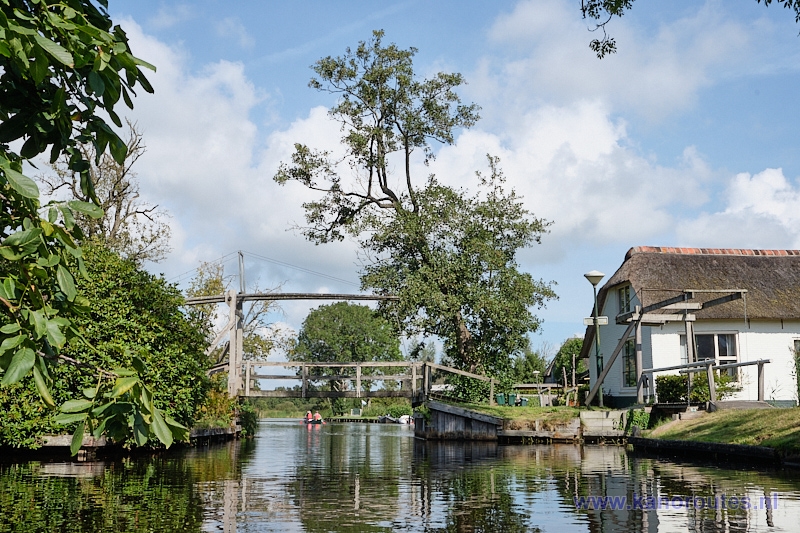
Dwarsgracht.
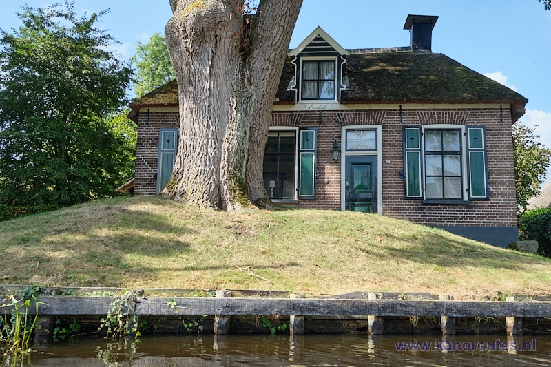
Dwarsgracht. The oldest ash tree of the Netherlands was planted in 1820 shortly after the completion of the house "Essenbelt".
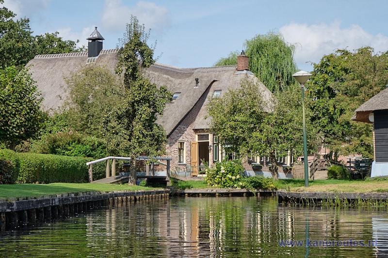
Dwarsgracht.

Cornelisgracht towards Jonen.
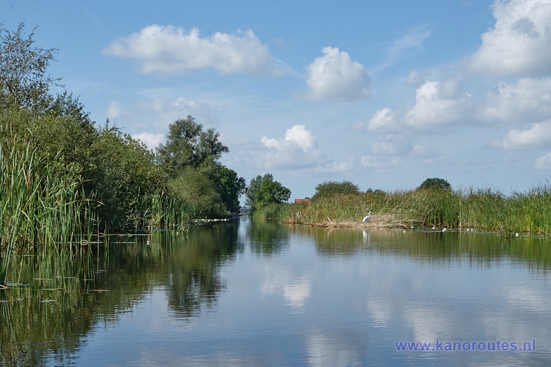
Cornelisgracht.
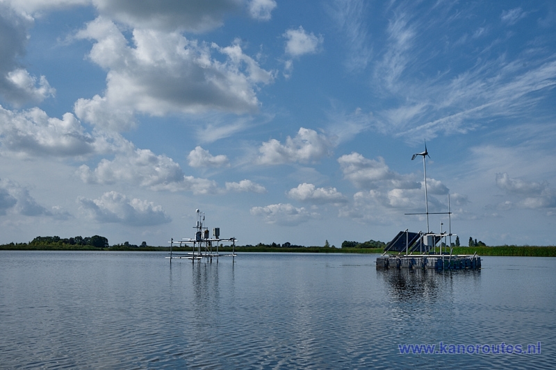
Measuring station for greenhouse gases in the Duinigermeer.
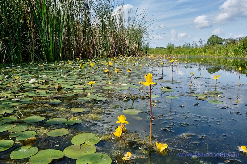
Zuiderdiep.
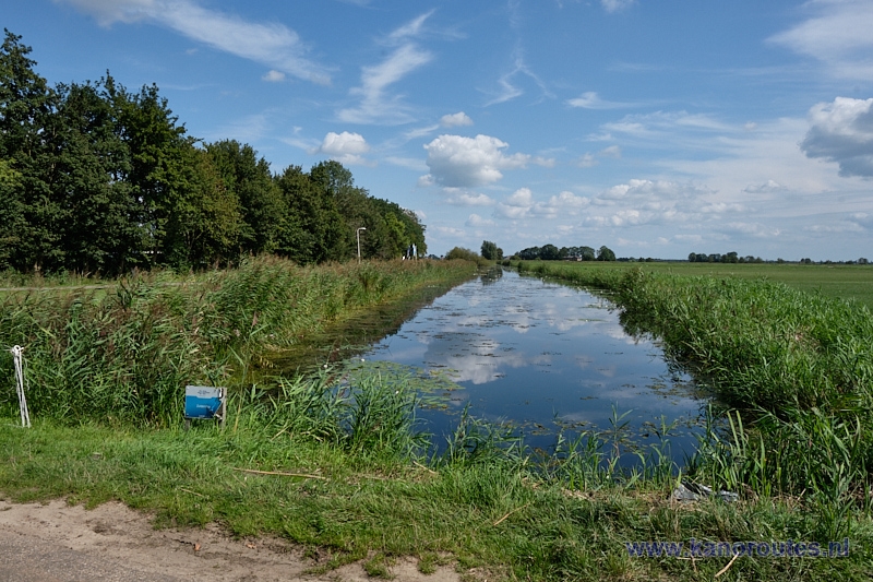
Portage point in the Zuiderdiep near Blokzijl.
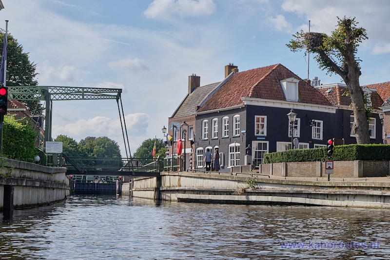
The locks in Blokzijl.
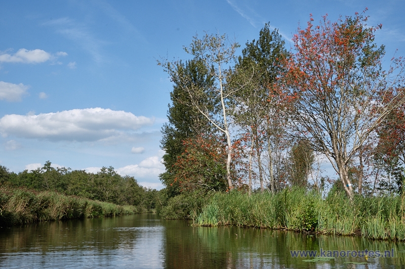
Weerribben.
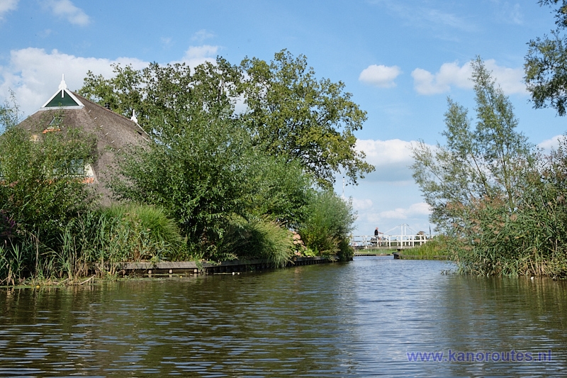
After the bridge you keep right on the Heuvengracht.
