A round trip of 36.5 km. No portages. You have to plan your trip so that you go with the tidal current!
Information about the tides are available at the website of Gezeiten Fisch. Here you find actual information about the tides at the locks of the Leer harbour. HW means high tide, NW means low tide.The tidal current can be up to 4 km/h so it is crucial to go with the tide. You start at the ferry at Amdorf, about 5 km east from the harbour of Leer. It will take 3 to 4 hours to reach the point where the Leda and Jümme meet, so you must start no later than 2 hours after the mentioned low tide (Niedrigwasser) in Leer.
Kayak rentals :
In the area you can rent a canoe or bike at one place and leave it at another place. The oranization is named Paddel und Pedal. For rental station Leer-Loga (2.5 km west of the starting point An der Pünte) contact Wolfgang Koop / Burkhard Vogel, Fährstrasse 6, 26789 Leer (tel. 0491-91969630 or 0160-5839941)To the starting point:
From Groningen head east on the A7. Pass the border at Nieuweschans. At intersection (AB Drei-eck) Bünde you head north towards Leer on highway 31. You exit just after the tunnel under the river Ems. Turn left and drive along the dike (K1). At Leer you turn right and head north on the Stadring (436). At the Mc Donalds you turn left at the traffic lights in the direction Loga (436). In Loga you turn right (K18) and a little further you turn left on the Ritterstrasse (still on the K18). You drive along the dike. Just before the ferry to Amdorf there is a floating kayak pier on your right near the restaurant Landgaststätte zur Jümme-Fähre.From the starting point you go left with the current. Turn left passed the ferry on the Jümme.
At km 10.5 there is a side-canal on your left just before Detern, the Nordgeorgsfehnkanal.
At km 16 there is another side-canal on your left, the Aper Tief.
At km 19.7 you come at the point where the Leda splits into the Jümme and Leda. On your left is a floating kayak pier.
You can wait here until the tide turns, or paddle
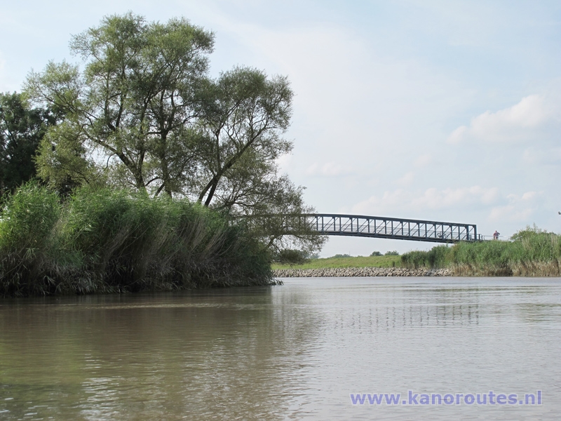
You return on the river Leda to the starting point. After a short distance you go under a bridge.
After the bridge you can go to the side on the left and pull the kayak on the grass.
At km 21 the river Saterems joins with the Leda.
At km 25 there is a small lake on your left, but you keep on the river.
At km 25.7 there is a floating kayak pier on your right just before the bridge near Potshausen.
At km 28 there is a side-canal on your left, the Hauptfehnkanal.
At km 31.4 you see a weir on your left.
At Amdorf you go under a narrow bridge and then after a short distance you return at the starting point.

GPS Fähr An Der Pünte: Lat. 53.2246 Lon. 7.5257

Downloadable GPS-track 41.1 km from Leer: Leda and Jümme.
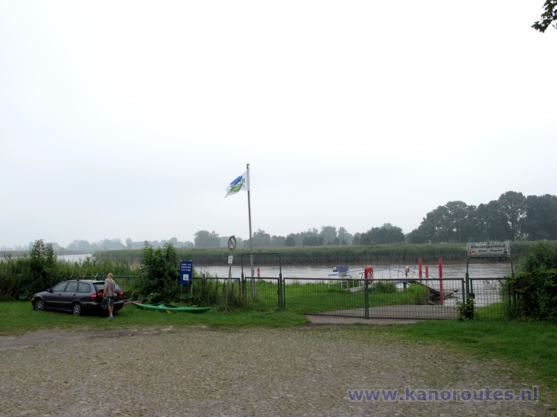
Floating pier at the Fährstrasse in Leer-Loga. In the past there has been a ferry here. The pier belongs to Wassersportclub Loga Jugend (youth watersports club Loga). You can start here if you rent a kayak from Paddel und Pedal. This adds 5 km. to the route. If you have no appointment, the gate is locked.

Ferry across the Jümme at the starting point: Fähr An der Pünte.
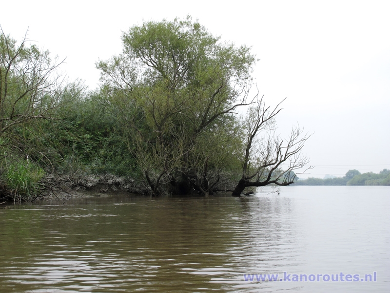
Jümme.
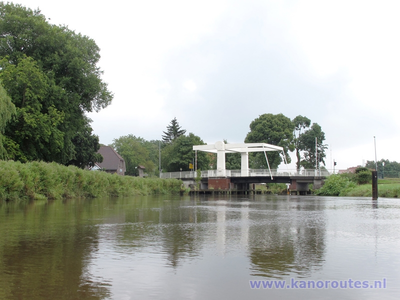
Bridge near Detern.
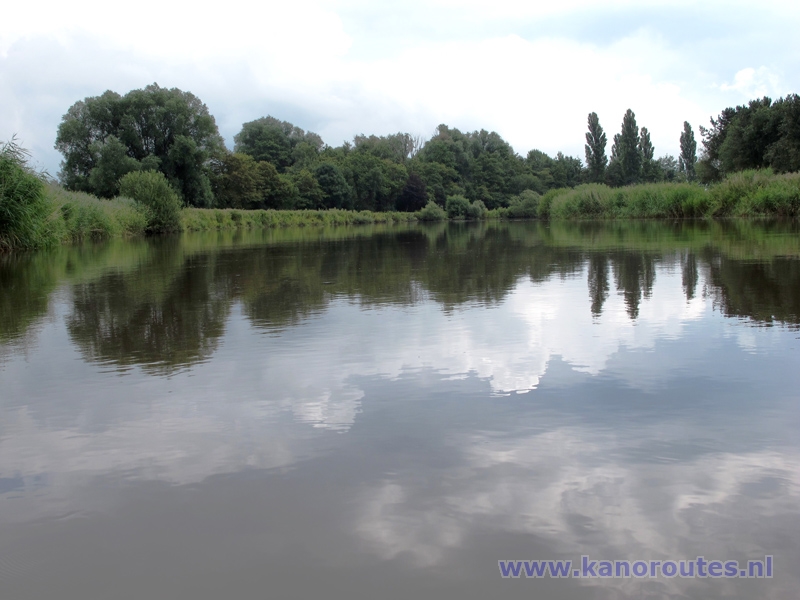
Jümme near Detern.
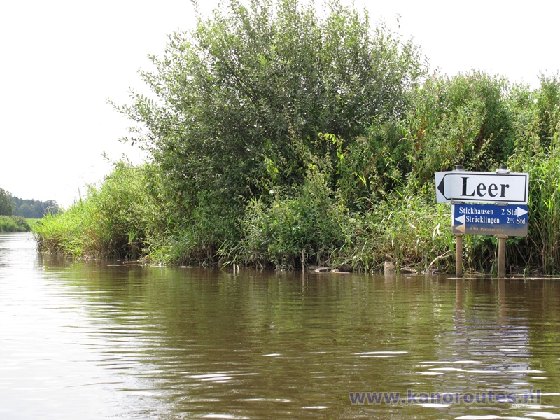
Where the Jümme splits from the Leda. This is the farthest point of the route.
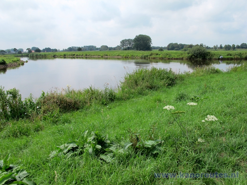
Resting point with kayak pier where the Jümme and Leda split. It is advisable to wait here until the tide turns.
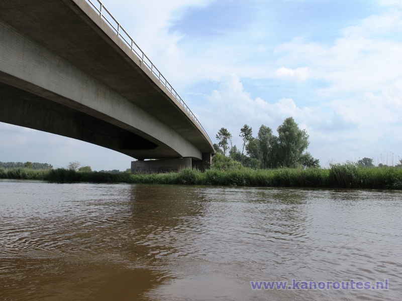
Bridge of road B72 across the Leda.

Kayak pier at the Leda.
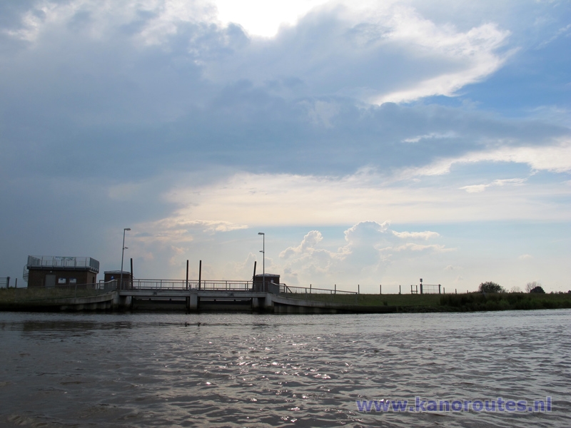
Weir along the Leda.

River Leda.
