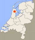
Round trip Kolhorn and Barsingerhorn: 11 km (3 portages)
No kayak rentals in this area.
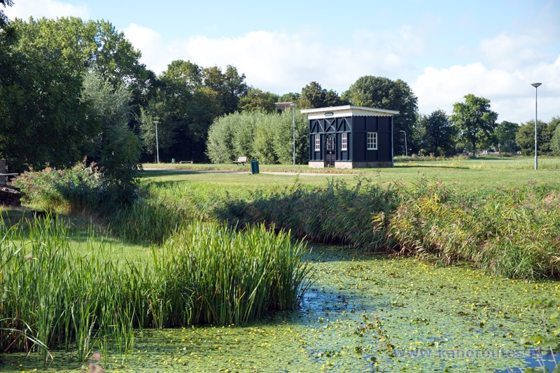
One of the most beautiful towns of the former Zuiderzee is not to be found along the IJsselmeer, but on the edge of the polder Wieringermeer. Kolhorn was built at the place where ships came to shore to supply goods for Schagen. Kolhorn never became very prosperous. Houses were small and the narrow streets were never widened. To-day this gives Kolhorn its special character. Very special are the so called "overtuinen", gardens across the street. The street is directly along the houses, and the garden is across the street along the canal. In the past people had their bussiness here, and they stored their peat and smoked fish. In the time of the V.O.C. the people of Kolhorn took over cargo from the ships to enable them to pass the undeep parts of the Zuiderzee towards the North Sea. When the Noordhollands Kanaal was built, they ran out of bussiness. When the nearby Groetpolder and Waardpolder were made, it appeared the soil was too salt for any agriculture. So they started growing madder. They could make paint of this. But after a short time is became possible to make chemical paint, so the madder was no longer needed. From 1900 till 1930 the people of Kolhorn fished anchovy, but then the polder Wieringermeer was made, and there was no longer a connection to the open sea. The old houses are restored very beautifully. There is some catering industry as yacht-owners like to stop for a visit of Kolhorn. The yearly night-market is very nice to visit.
Starting point between Kolhorn and Schagen
Kolhorn can be reached by the N248, between Schagen and Middenmeer. There is a kayak-route of about 10 km. Between Schagen and Kolhorn you exit the N248 towards Barsingerhorn. Just across the bridge you turn right on the narrow road along the canal. Under the high-voltage lines is the starting point at the portage towards the canal.
Route:
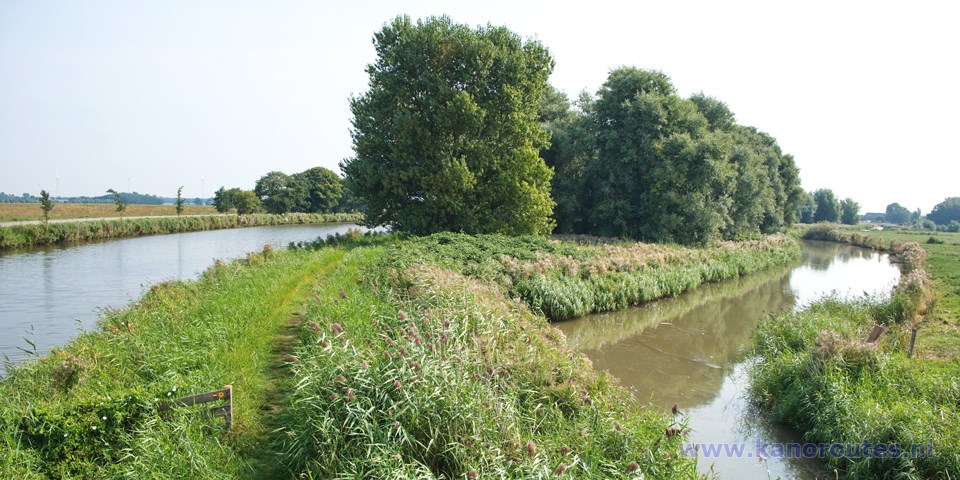
Paddle to the east in the direction Kolhorn. You pass under the bridge Hemmerbrug. There used to be a portage-point here, but it no longer exists. Just before the locks there is a portage point next to a pumping-station. There are good kayak-piers. On the other site there is a war monument at the crash site of a Lancaster bomber. You head to the left and then you come to the village Kolhorn. This is a very beautiful canal. Follow the bend to the right. A little further, there is a side-canal to the left, the Kromme Gouw. You go straight on. At the next junction you keep going straight on. You pass through the village Barsingerhorn. After the bridge Trambrug there is a kayak-pier where you can take a break at the restored railroad-stop. In the past a tramway lead to the north to connect with the ferry towards the former island Wieringen and east towards Medemblik. After the tramway-station you turn right. After a while you come at a bridge too low to pass underneath. But there are kayak-piers where you can take the canoe to the other side. At the end of the canal you come at the starting point.

GPS: Lat. 52.7990 Lon. 4.8325
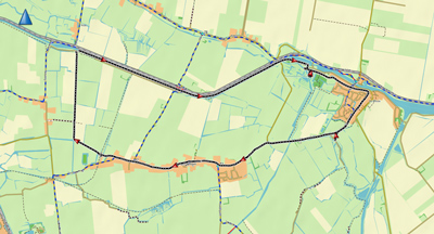
Downloadable GPS-track (11 km): Kolhorn.

Starting place with portage point to the Kanaal Schagen-Kolhorn.

Portage point just before the locks.

War monument at the crash site of a Lancaster bomber.

From the kayak you have a better view.
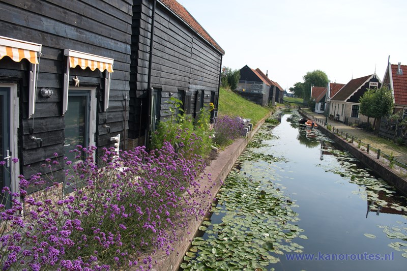
Kolhorn.

Kolhorn.

Kolhorn.

Kolhorn.

Portage point at the former locks in the Kromme Gouw.

Barsingerhorn.

Barsingerhorn.

The former townhall of Barsingerhorn.
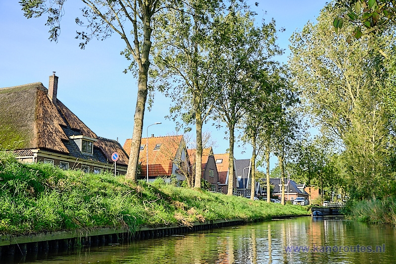
Barsingerhorn.
