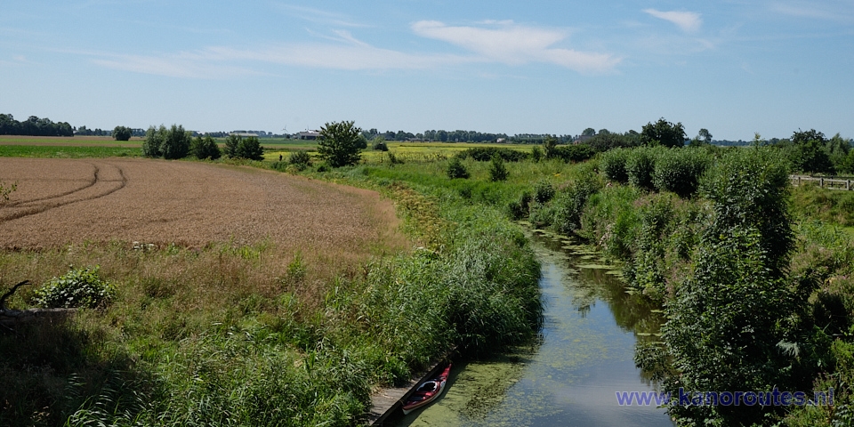
Roundtrip from Wehe-den Hoorn (13 km) with a trip to Pieterburen (2 x 5.7 km), total 24.4 km.
No portages.The pier in Pieterburen is not accessible (situation 2024), so you better start in Wehe-den Hoorn.
Kayak rentals:
- Groepsaccomodation, B&B, en kayak rentals De Energiek, Mernaweg 79, 9964AR Wehe-den Hoorn. Tel. 0595-571239 or 06-55706297.
- Winsum: Marenland, 6, 9951 CG Winsum. Tel.: 0595-442750.
Starting point Wehe-den Hoorn
Follow the N361 between Groningen and Dokkum. At a roundabout you exit towards Wehe-den Hoorn. At a T-junction you turn left in the direction Kloosterburen. In the center you turn right at a sign "'t Korensant" on the Havenstraat. Just around the corner is the boatramp on your right. There is a parking place and an entrance to a camper place.
Trip to Pieterburen with a round trip (GPS-track 24.4 km)
From Wehe-den Hoorn you follow the canal along the estate Landgoed Wilgenheerd. At the T-junction youy turn left on the Hoornse Vaart. For a trip to Pieterburen you turn right after a short distance. At the next intersection there is a kayak-pier, and here you turn right. After some distance you turn left. When you approach Pieterburen there is a pier on your right just before a high wooden footbridge. There is just a footpath. From here you can walk to the seal centre and to the center of the village. The pier near the end of the canal is not accessible (situation 2024). The canal ends at windmill "De Vier Winden". Here you turn back. When you ruturn on the Hoornse Vaart you can turn left to the starting point. For an extra round of 13 km. you turn right. At the next intersection with the canal Molenrijgstermaar you go straight on. Just after a bridge you see a kayak-pier on your left. You can visit the museum farm Landgoed Verhildersum. There is a field with a picnic table. A little further you turn left after a bridge on the Warfhuisterloopdiep. Just before Warfhuizen there is a kayak-pier on your right. There is a public toilet. After you passed Warfhuizen you turn left at the T-junction on the Kromme Raken. After a bridge you see a pumping station and locks on your right. You go straight on here. After you passed through Wehe-den Hoorn you turn left to return to the starting-point.
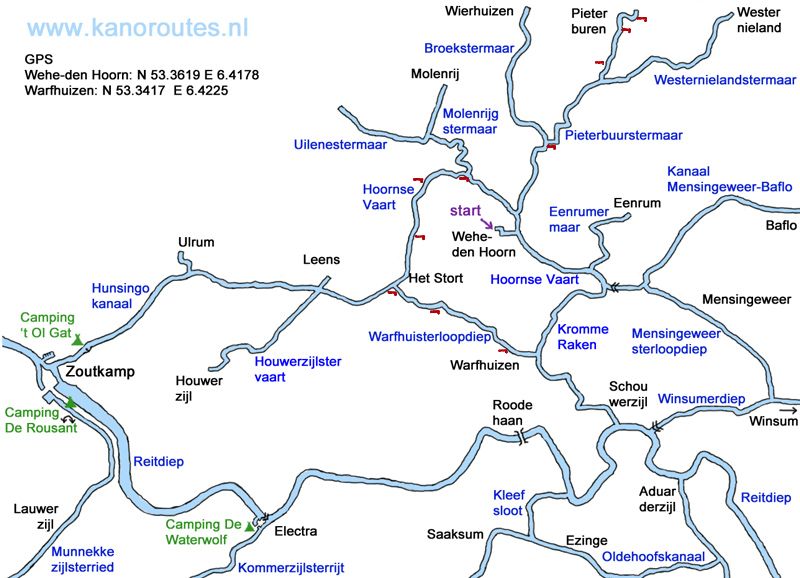
GPS:
Wehe-den Hoorn N 53.3619 E 6.4178
Warfhuizen N 53.3417 E 6.4225
Pieterburen N 53.3996 E 6.4603
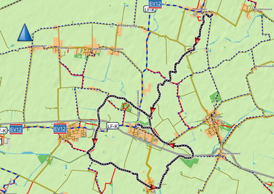
Downloadable GPS-track (24.4 km): Pieterburen.gpx.
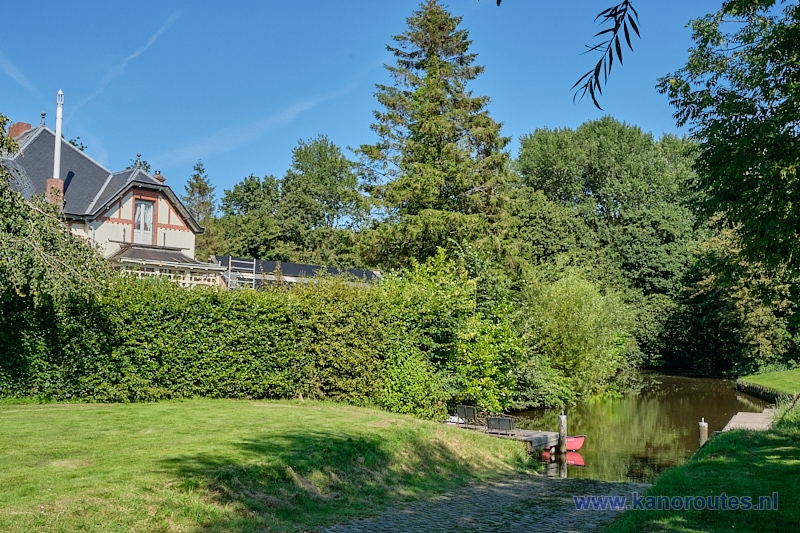
Boatramp and kayak pier at the starting point in Wehe-den Hoorn.
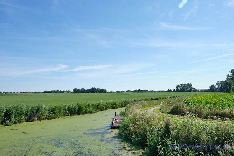
After a bridge you turn right on the Pieterbuurstermaar.
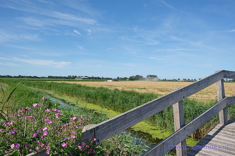
Pieterbuurstermaar.
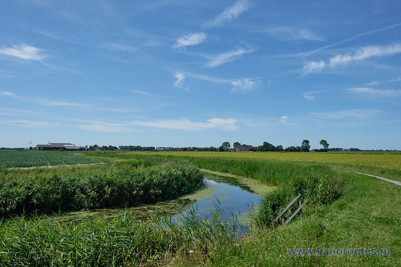
Pieterbuurstermaar.
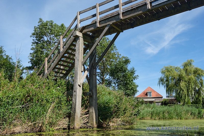
Footbridge at Pieterburen. There is a walking route across the bridge to the sealcentre.
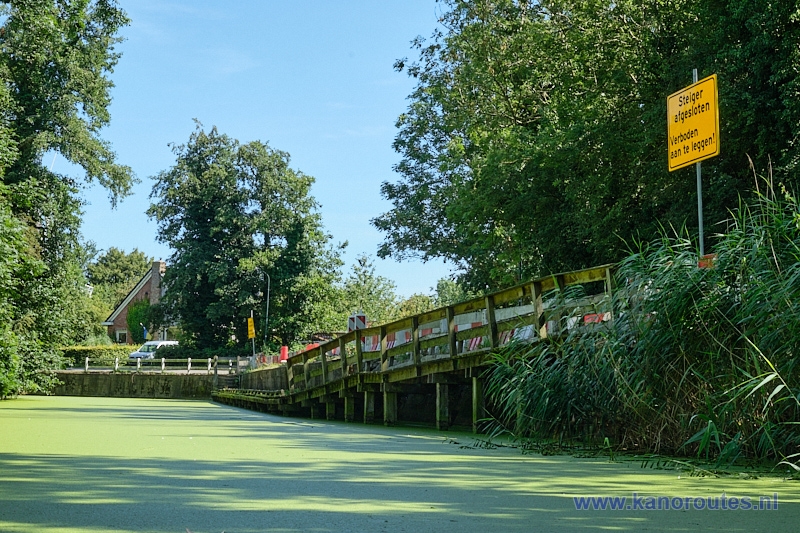
No access allowed to the pier in Pieterburen (situation 2024).
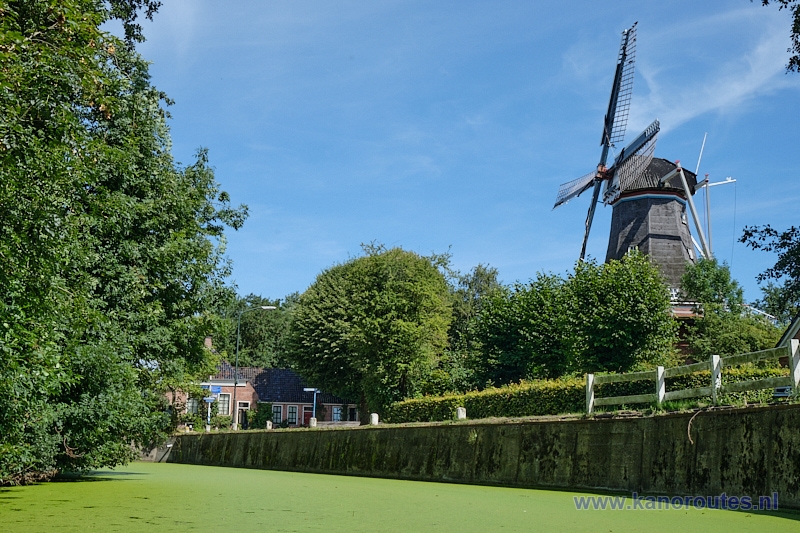
Mill "De Vier Winden" in Pieterburen.

End of the Pieterbuurstermaar.
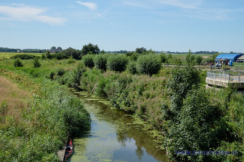
Kayak pier opposite the seal centre.
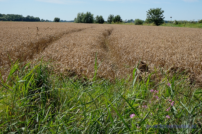
Cornfield at Pieterburen.
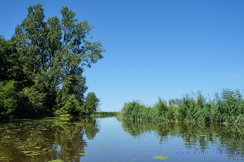
Hoornse Vaart.
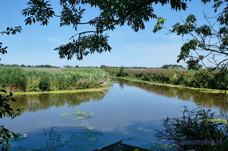
Side-canal to Molenrij.
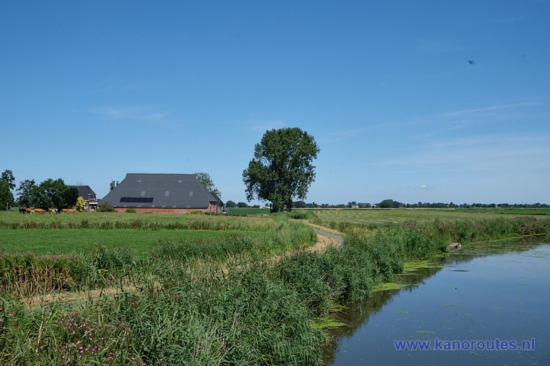
Hoornse Vaart.
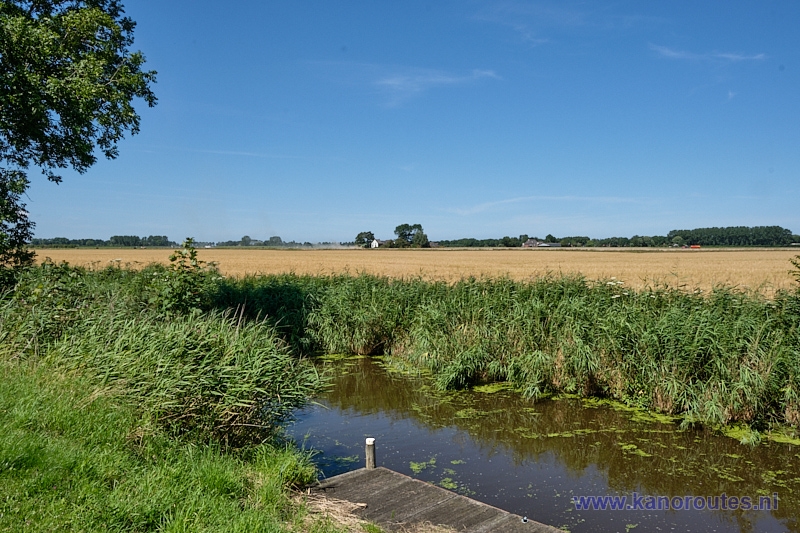
Warfhuisterloopdiep.

