A round trip of 18.5 km. or less.
Kayak rentals:
- Midwolda: Huninga's Watersport, tel.: 06-52307528
- Beerta: Reiderhaven, tel.: 06-53739742
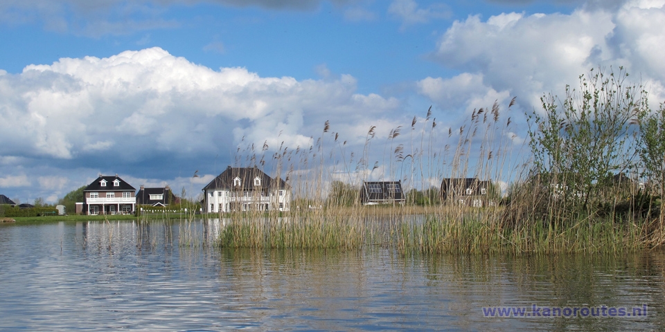
The area is nice and quiet. Maybe a bit desolate because of the many empty building plots.
The project Blauwe Stad (Dutch for blue city) started in 2005. Before that the area existed of arable land where grain was cultivated. Because of overproduction the land was left uncultivated, young people moved away and local economy went bad. To give the area an economic impulse a plan was made to change the whole area between the town Groningen and the German border into a large recreation area. The original plan was changed into the much smaller plan, the present Blauwe Stad. In January 2004 the building of the dikes started and on 12 May 2005 the first water was led into the new lake. In the beginning there were many protests against the plan. Putting arable land under water is a diffucult thing to accept for the Dutch people. But also changing typical Groningen landscape into somthing Flevopolder-like is hard to accept. During the years the plan turned out to be a fault. The costs were enormous and only a handful of people moved in to build a new house. But as there is no turning back a lot of efford is made to make things work. Only recently a marina was made at Midwolda and a new canal with locks was completed leading north towards Nieuwolda. There are many events.
Links
- Website of the Oldambtmeer: www.oldambtmeer.nl
- Website of Blauwe Stad: www.blauwestad.nl
- Another website of Blauwe Stad: www.blauwestad.eu
There are several places where you can launch a kayak to make a trip:
- There is a kayak pier at the marina in Blauwe Stad. But access is difficult when events are organized. The pier is situated at the far end of the marina, where you can not drive your car. so you have to carry the kayak for at least 50 meters.
- Best place to launch a kayak is at the locks of Midwolda. It is accessible by car and you can park at the nearby marina.
- Near highway A7 there is a kayak pier near the steam pumping station. There is a narrow road along the canal, the size of a bike road. But there is no sign (May 2015), so you can drive your car there and park in the grass. At the locks further on, there are no kayak piers. Portage is possible but it's not easy to do it without getting your feet wet. I made a small pile of stones, that will do.
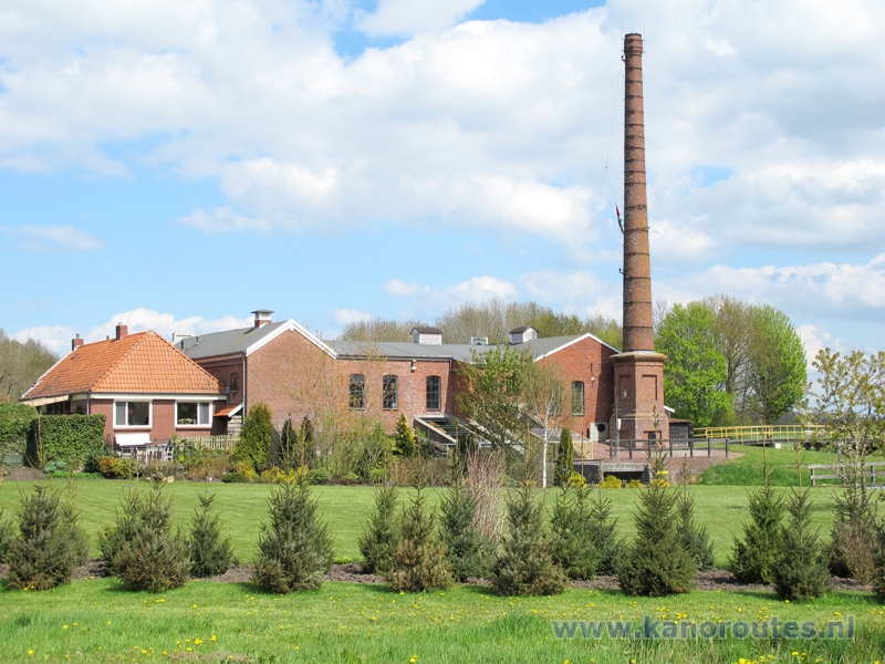
Starting point at steam pumping station.
Exit the highway A7 (Groningen-Nieuweschans) at exit 47 Winschoten. There is a sharp bend to the left leading to a roundabout. Take the N966 in the direction Beerta. Right across the bridge you turn right on the narrow road. The kayak pier and mooring place is a little further on your right.From the starting point you turn right and go under the bridge. At the junction you turn left. After the bridge named "Paardenbijter" you come at the lake Oldambtmeer. You go straight on and follow the north side. You pass a water playground and the entrance to the Blauwe Stad marina. From here you turn left to the west side of the lake. Follow the buoys to the north. Around the peninsula you see Midwolda in the distance. You pass the beach and keep left. You pass the entrance of the marina that's also the entrance to the locks. You head east and pass behind the island Kikkerberg. Head south following the eastern side. Turn left on the canal towards Finsterwolde. You go under a rope brige named "Waterjuffer" and head east. At the T-junction you turn right. A little furhter you turn left under a bridge towards Beerta. Follow the canal. After the footferry near Reiderhaven you come at another junction. Turn left towards the starting point.
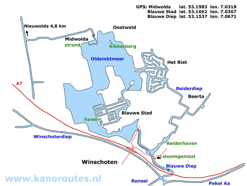

Downloadable GPS-track: Oldambtmeer 18.5 km.
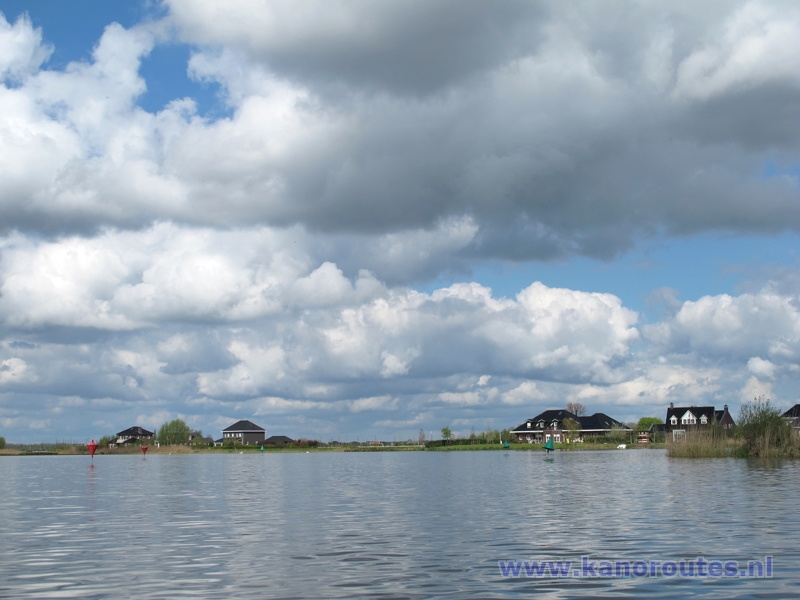
Blauwe Stad
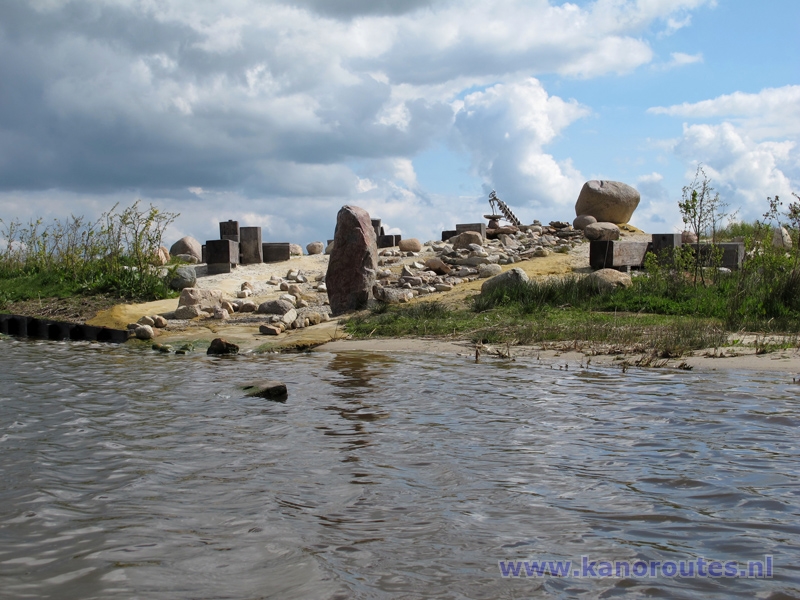
Water playground.
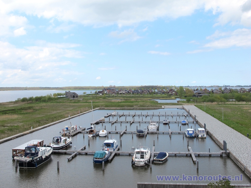
Marina of Blauwe Stad seen from the viewing platform. There is a kayak pier on the opposite side.

Oldambtmeer with a view on Midwolda in the distance.
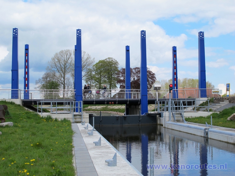
Locks at Midwolda. The canal leads to Nieuwolda. There are good kayak piers on both sides.
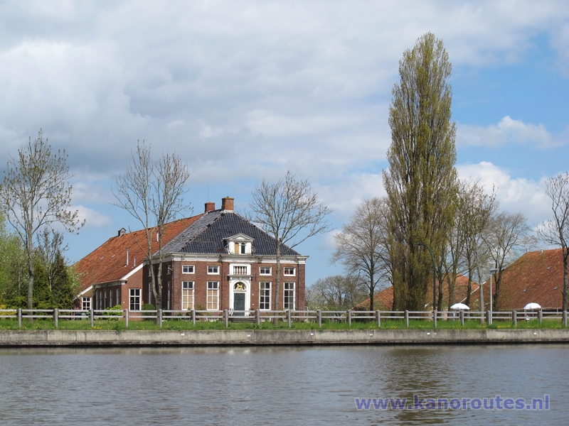
Old farmhouse at Oostwold.
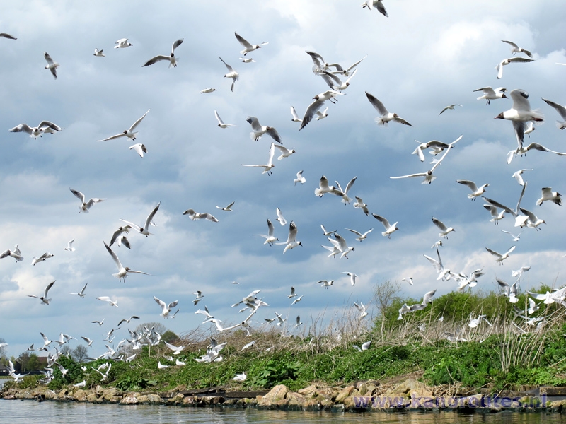
Birds at the island "Kikkerberg".
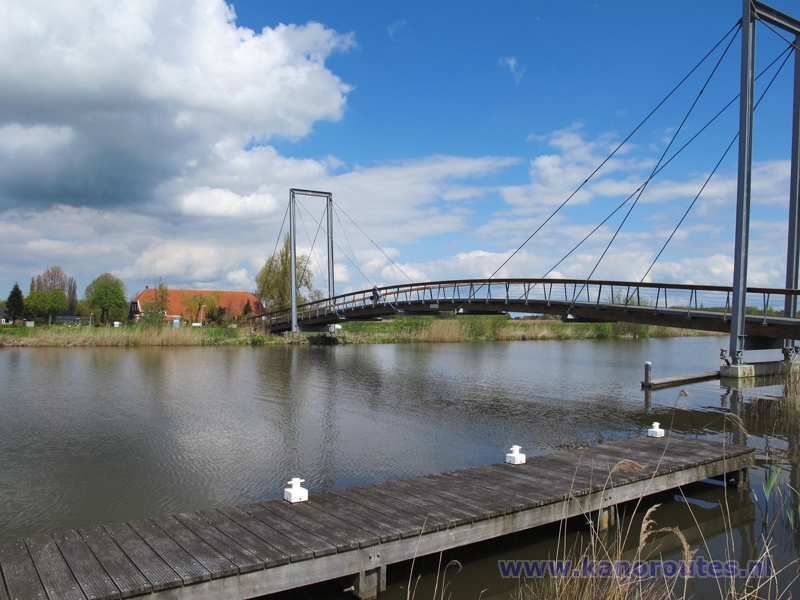
Bridge named "Waterjuffer" .

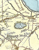 Map from 1774 of the