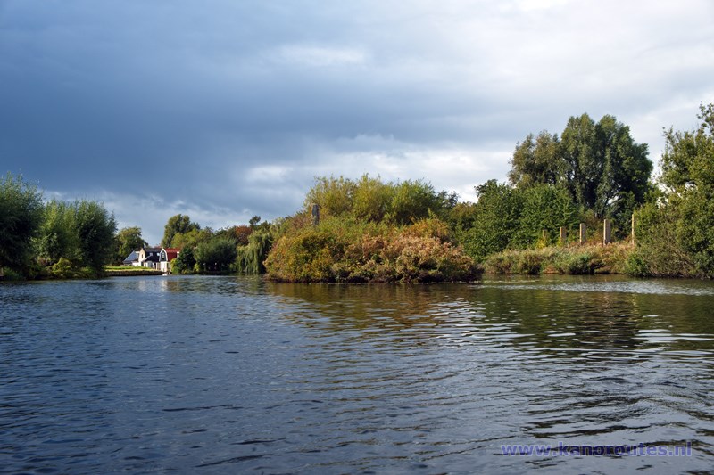
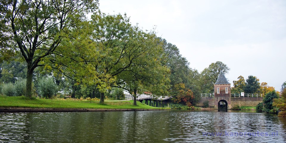
A round trip of 17 km starting in Grootebroek. This route can be extended by a detour in Enkhuizen or to Broekerhaven.
A round trip in Grootebroek, Bovenkarspel and Broekerhaven 13.8 km. No portages.
Many people have boats here, so on a sunny afternoon it can by quite crowded on the canals.
There is a map with waypoints of the major canals in eastern West-Friesland on the site Ons Westfriesland.
- Lutjebroek: Rijo Botenverhuur, Past Gielenstraat 16, 1614LM Lutjebroek.
Kayak rentals:
Starting point Grootebroek
Exit the N307 (Hoorn - Enkhuizen) at the exit Venhuizen in the direction Grootebroek. At the roundabout you turn right on the Raadhuislaan. At the next roundabout you go straight on. Just after the bridge you turn left on the Molenbuurt. Turn left again on the unpaved road that leads to the canal. There is a kayak-pier at the bridge, but there is a long low side where you also can start.To get to the boatramp, you pass the Molenbuurt and cross the railroad. At the junction in the center you go straight on. Just before the next roundabout you turn right. There is a parking area and a boatramp that's also a good starting-point.
From the starting point Molenbuurt you head west. At the first junction you turn right.
At waypoint 23 you turn right, and you go under a railroad-bridge.
You pass a pub named De Paus and you head north until you come at a T-junction in the nature park De Weelen
(33).
Here you turn right. Further on you can turn right to the
Streekbos at waypoint 31. There's a beach where you can swim or
visit the restaurant
IJgenweis.
To Enkhuizen you go straight on and follow the directions to waypoint 30.
You pass the gate towards the city center and you go straight on.
At the T-junction you turn right, and at the next T-junction left again.
At waypoint 29 you leave the city. You pass under a railroad bridge and at the next T-junction you turn right.
On your right there is a
Mc Donalds. There is a side canal leading towards the back where you can go to the side.
At waypoint 27 you can turn left for a detour to Broekerhaven.
A little further you pass the windmill Ceres.
It's open for visitors, and you find lunch-restaurant De Wolenwiek next to it.
They have a kayak-pier behind the windmill.
Further on you pass the industrial area of Grootebroek.
Then you return to the starting-point Molenbuurt.

GPS starting point Molenbuurt: N 52.6948, E 5.2167.

Downloadable GPS-track (13.8 km): Stedebroec.
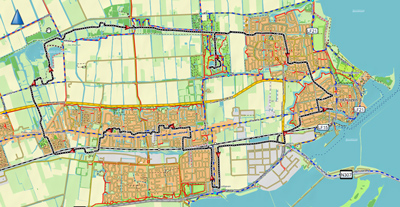
Downloadable GPS-track (22.9 km): Enkhuizen.
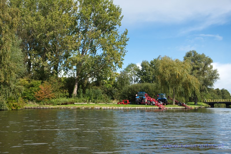
Grootebroek: starting point at the Molenbuurt.
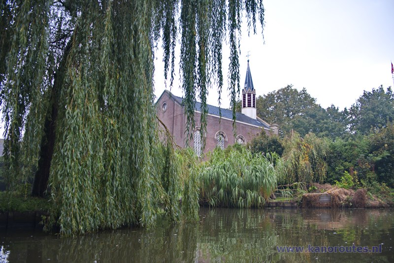
Lutjebroek.
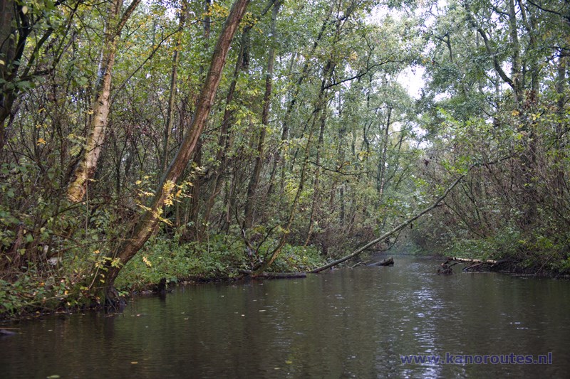
Dead end canal in the nature park Lutjebroeker Weel.
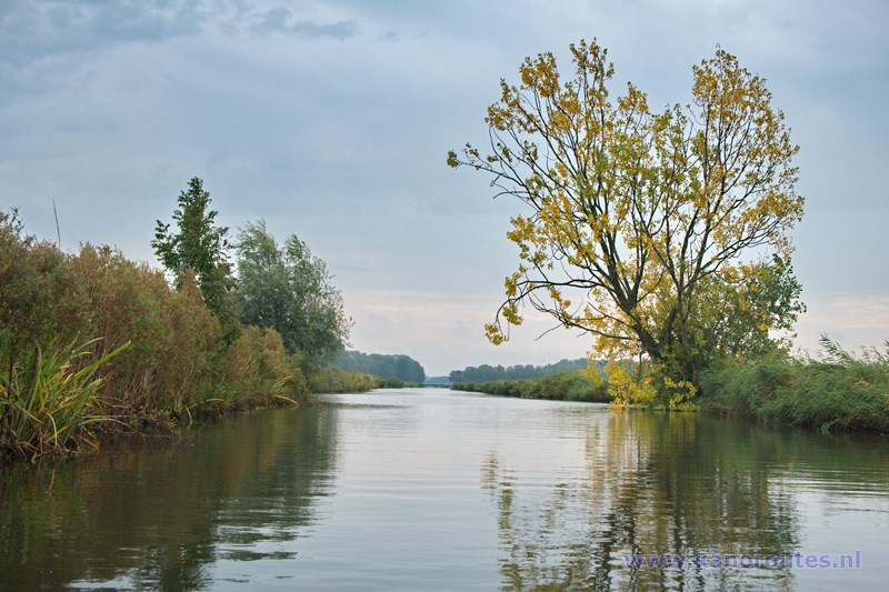
Kadijk.
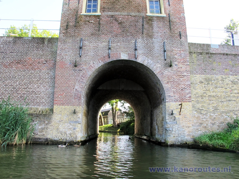
The gate to Enkhuizen.
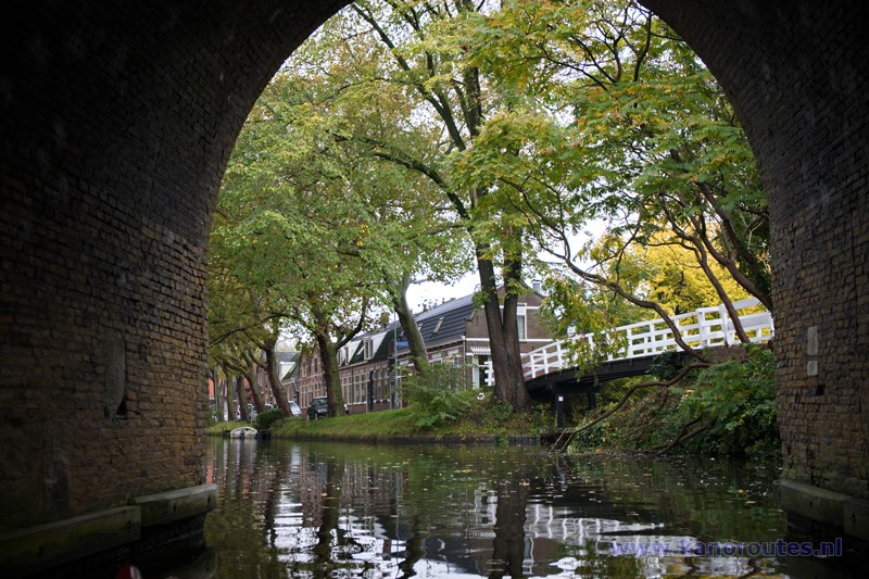
Through the gate.
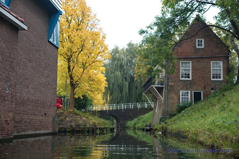
Enkhuizen.
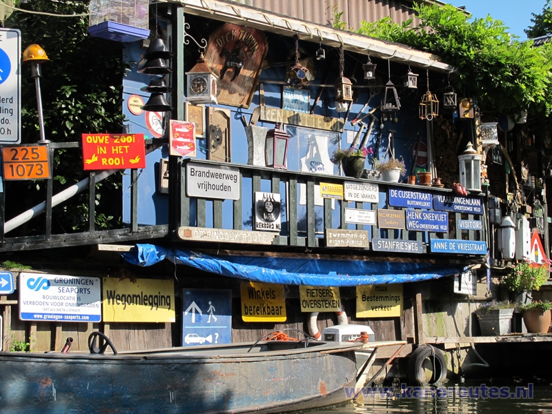
Collection.
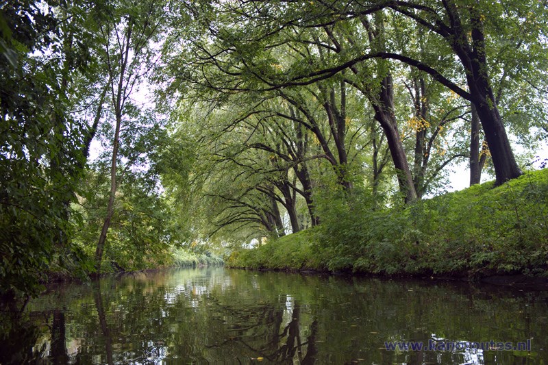
Enkhuizen.
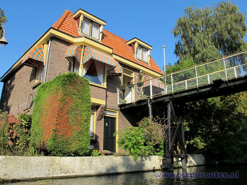
Broekerhaven.
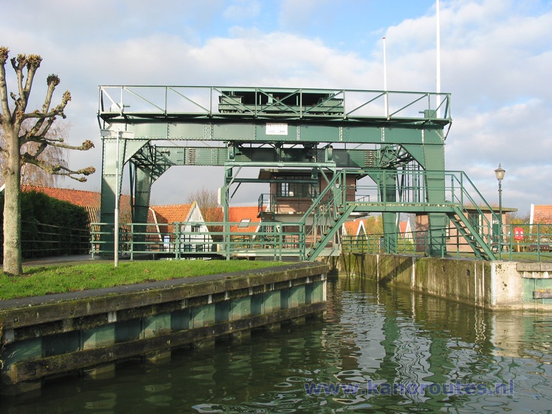
The boatlift at Broekerhaven is still in use. Boats are lifted out of the water on one side and lowered on the other side. At this point there are kayak piers on both sides. So you can paddle towards the Markermeer.
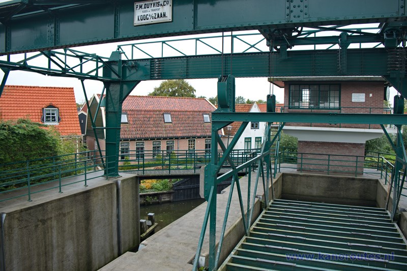
Boatlift.

Windmill Ceres in Bovenkarspel. There is a lunch restaurant with a kayak pier behind the mill.
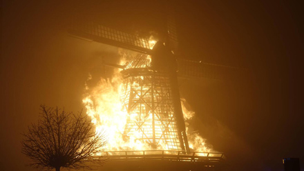
On New Years Eve 2019 the mill Ceres burnt down.

Grootebroek.

Grootebroek: aqueduct across the Molensloot.
