River Vecht
This former river connects the city Utrecht to the IJsselmeer at Muiden. Total length is 41 km.The northern part is described on the page Naarden.
The middle part is described here,
and the southern part is described on the page Maarssen.
Unique about this river is that the current (if there is any) is in the opposite direction from the IJsselmeer towards Utecht. Only at extensive rainfall it runs to the north. Usually there is hardly any current at all. The river is very beautiful to kayak on. There are many yachts and smaller boats on the river, especially in the afternoon and early evening. The maximum speed is often 6 km/h, so you'll have no problem with them. Commercial ships take the Amsterdam-Rijn Kanaal, so you won't see any on the river. You can kayak from Muiden on the Vecht to Utrecht, and then continue on the Kromme Rijn to Wijk bij Duurstede.
Kayak rentals:
- Weesp: Kano Huren Holland, Herengracht 13, Weesp. Tel. 06-50695254.
- Breukelen: De Eerste Aanleg, Scheendijk 7, Breukelen. Tel.: 0346-261813.
Starting point 't Hemeltje:
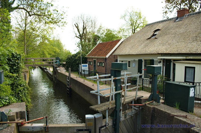
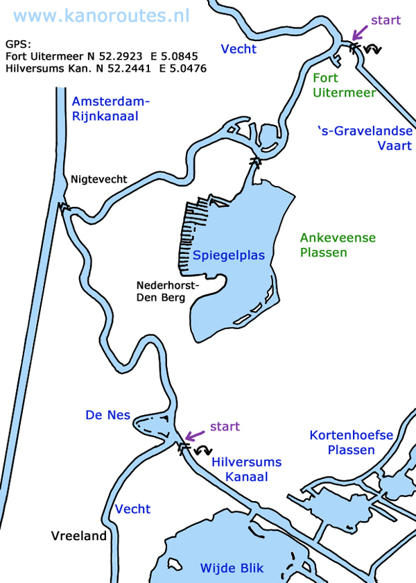
Starting point is at the locks where the Hilversums Kanaal connects to the Vecht. Exit the highway A2 at Vinkeveen and drive in the direction of Hilversum. You pass Vreeland and then after 2 km you turn left towards Nederhorst den Berg. There is a sharp bend to the right and here you see the locks named 't Hemeltje. There is a kayak pier on the left. You can park on the grass near the locks.A day trip from the locks of the Hilversums Kanaal to fortress Uitermeer is 19 km. both ways.
From the locks 't Hemeltje head north passing the lake named De Nes. A little further you pass the cheese and icecream farm De Willigen. Then follow the bends in the river towards Nigtevecht. Turn right and follow the river. Turn right again at fortress Hinderdam. You can also paddle around it, but the water behind the fortress is filled with dead trees so you must puzzle a bit to find your way through. A little further you see on your left the entrance to a small lake. On your right are the locks towards the lake Spiegelplas. There are no kayak piers here. Follow the river and on you right you see the fortress Uitermeer. If you turn right there is a kayak pier just behind the bridge where you can go to the side for a break.
A trip from 't Hemeltje to the Kraaienestersluis with a detour to the Kievitsbuurt is 25.4 km (GPS-track).
From the locks 't Hemeltje you turn left on the Vecht. You pass the villages Vreeland and Loenen. Opposite the white mansion Nieuwerhoek you turn left and pass the locks Mijndense Sluis. Portage is not possible, and you need to pay € 3,00 (2022) per kayak, cash only. There is a terrace by the water where you can have a coffee. You follow the Drecht and then turn right on the Muyeveldse Wetering. At the end you turn left and follow the south side of the lake. You take the first canal to the right passed the Kivitsbuurt. At the end of the canal you turn right on the Tienhovensch Kanaal. You pass the fortress Tienhoven, and then you come at the locks Kraaienestersluis. You can operate the by yourself (manually), but you need to go to the side. It's easier to carry the kayak passed the locks. After the locks you turn right on the Vecht. You pass the villages Breukelen, Nieuwersluis/Mijnden, Loenen and Vreeland. At the Hilversums Kanaal you turn right to the starting point.
GPS:
Fort Uitermeer: N 52.2923 E 5.0845
Locks't Hemeltje (Hilversums Kanaal): N 52.2441 E 5.0476

GPS:
Fort Uitermeer: N 52.2923 E 5.0845
Locks't Hemeltje (Hilversums Kanaal): N 52.2441 E 5.0476
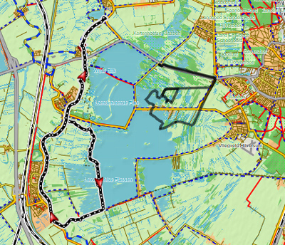
Downloadable GPS-track of 25.4 km.: Vecht.
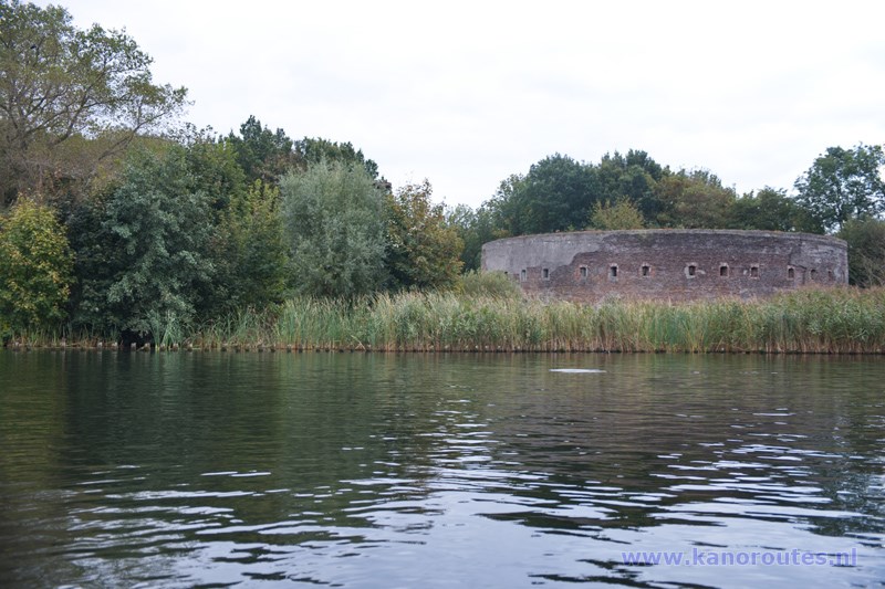
Fort Uitermeer.
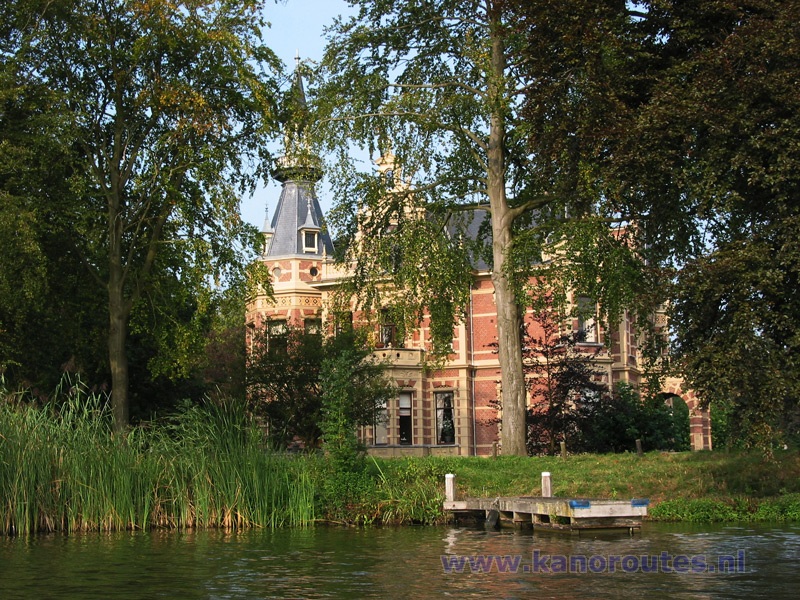
Castle at Nederhorst den Berg.

Starting point 't Hemeltje near the Hilversums Kanaal.
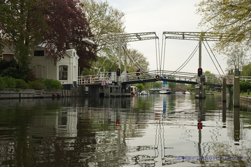
Vreeland.
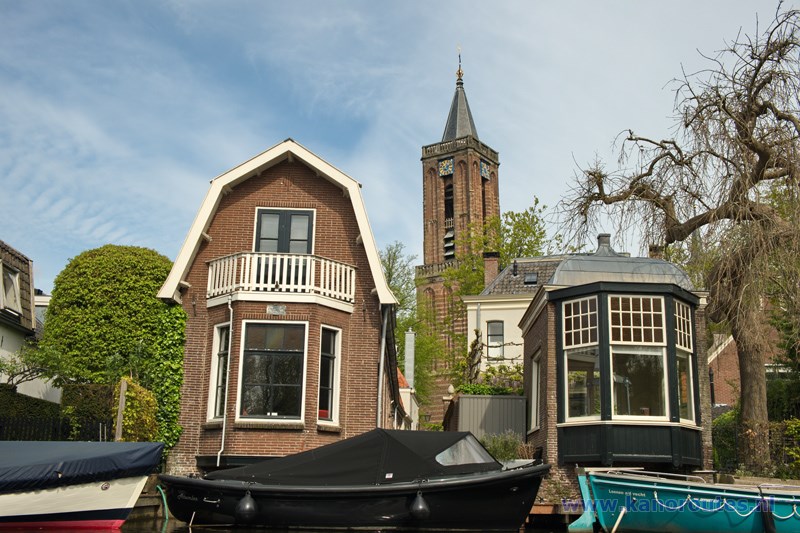
Loenen.
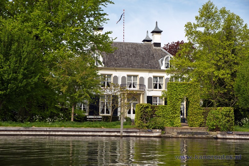
Nieuwerhoek. Opposite heren is the locks Mijndense sluis.
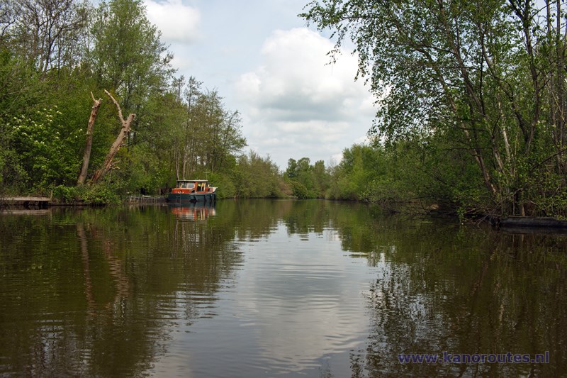
Muyeveldsche Wetering.
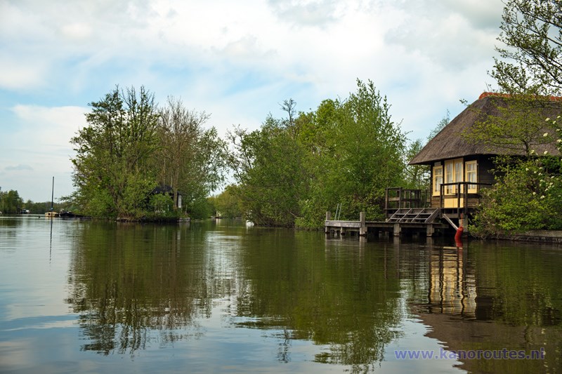
Kievitsbuurt.
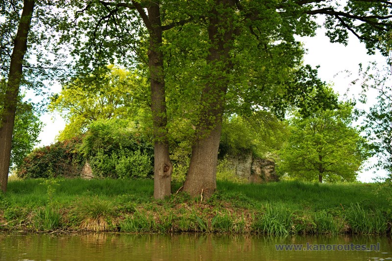
Fort Tienhoven.
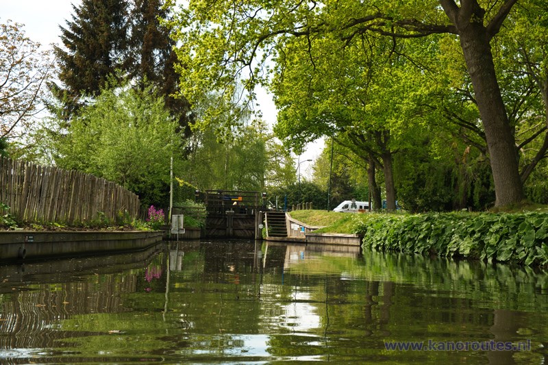
Kraaienestersluis.
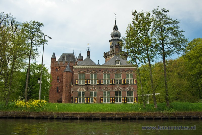
Kasteel Nijenrode.
