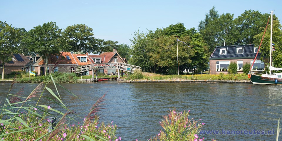
Round trip of 12.2 km.
With a tour to Ferwert 18.3 km.Four portages.
Kayak rentals:
Wetterwille, It Spyk 7, 9111 HT Burdaard. Tel.: 06-13639546.It is situated along the Oude Vaart near camping Mounehiem.
To the starting point Wanswert
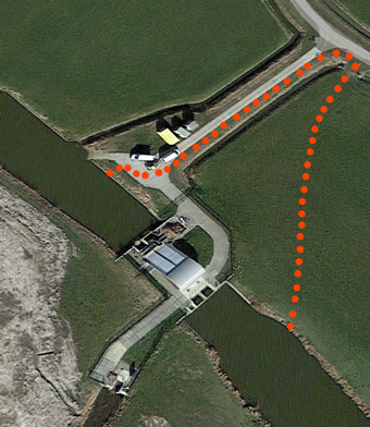
Follow the N357 in the direction Holwerd, and exit near Marrum (after the "Pannekoektrein") in the direction of the industrial area Nieuweweg. In the village Wanswert you turn right at the Sign "P Eldorado". At the end of the narrow road there is a small parking place on the right. Here you find a kayak pier where you can launch your kayak.To the starting point Burdaard
You take the N361 Leeuwarden - Dokkum. At a roundabout you exit and head north in the direction Burdaard. After the bridge across the Dokkumer Ee you turn left. There is a boat-ramp at camping Mounehiem, where you can launch the kayak.To the starting point Ferwert
Follow the N357 in the direction Holwerd, and exit to the right in the direction Burdaard. On the corner there is fuel station Halma. After 0.6 km. you turn right on the road named De Wjuk. At the T-junction you turn right on the Mûnewei. The kayak-pier is at the end of this dead-end road.Round trip of 20.3 km from Ferwert
I wanted to make the full tour, so I decided to start in Ferwert. This was not such a good idea, as at the end of the summer the canal is full with waterplants. So I paddled slowly towards the mound Hegebeintum. There is a kayak-pier and a picnic table. From here it's a short walk to the mound. I continued south and furtunately the situation with the water-plants improved. I passed the side-canal De Traan (The tear) and I continued to the next stop, the kayak-pier near Jislum. The kayak-pier is just before a bridge, but the village is at a distance. A little further there is a weir just after a bridge. I was told it is closed only during the winter-months. Then you need to portage but there are kayak-piers. In August the weir was open so I could continue to the Dokkumer Ee. After the bridge you turn right on the T-junction. If a bridge has just been opened there may be a row of boats passing by. Just after the first bridge you can turn right into the marina. There is a camp-site around it, and a boat-ramp which is an alternative starting point. For a break you enter the canal and follow the bend to the left. At the end of the canal there is a large kayak-pier. From here it's a short walk to the restaurant at the bridge across the Dokkumer Ee. You turn back the same way and then turn right on the Dokkumer Ee. After 2 km. you turn right in Tergreft. At the next intersection you can turn right for a visit to Wanswert. It is a small village with a church on the mound. There is a kayak-pier and a picnic-table. This is an alternative starting-point. You return the same way and then turn right on the Harreweister Vaart. After a short distance you come at a pumping-station. They made a large gate around it, and there are no kayak-piers. So the only way to portage is to go on land to the right, pass the meadow to the gate at the road. You climb over the gate and turn left on the road to the pumping-station. There is a small boat-ramp, and there is a low side where you can launch the kayak. After a bridge you turn righ on the Contributievaart. There is a weir, but there are floating kayak-piers on both sides. When you come at a road you pass through the culvert. After a bend to the left you see a kayak-pier on your left. You can go to the side here, although the pier is rather high. A little further you turn right under a big stone bridge. After a short distance you need to portage again across a dike in the canal. There are floating kayak-piers on both sides. You continue on De Traan and at the T-junction you turn left to return to Ferwert.
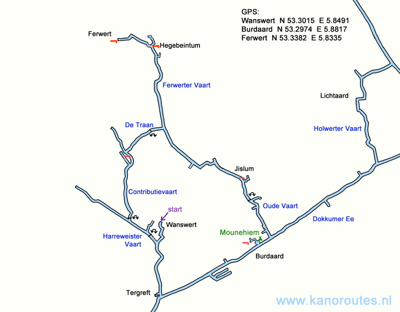
GPS Wanswert N.53.3015 E. 5.8491
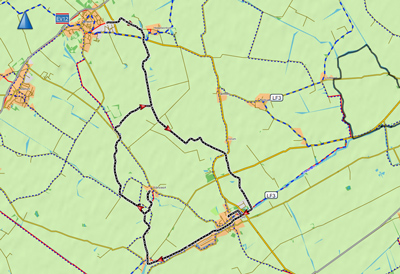
Downloadable GPS-track of 20.3 km.:
Burdaard.
Round trip of 12.2 km. With an extra tour to Ferwert 18.3 km.
Total distance including kayak-piers in Burdaard and Wanswert 20.3 km.
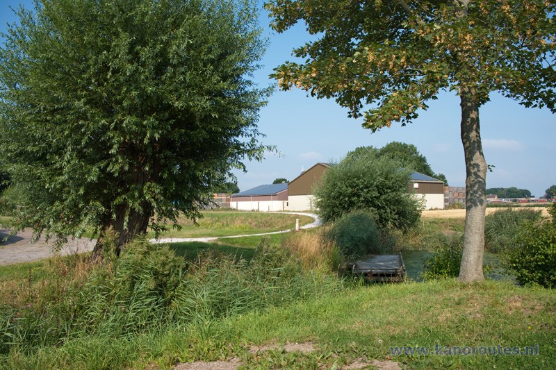
Kayak pier in Ferwert.
From here you can walk on the footpath to the center of the village (800 meters).
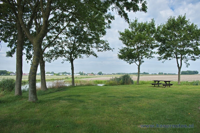
Field at the kayak-pier near Hegebeintum.
There is a narrow dead-end road leading to the field ment for local residents.
Therefore it's not a suitable starting place.
From here it's a short walk to te top of the mound.
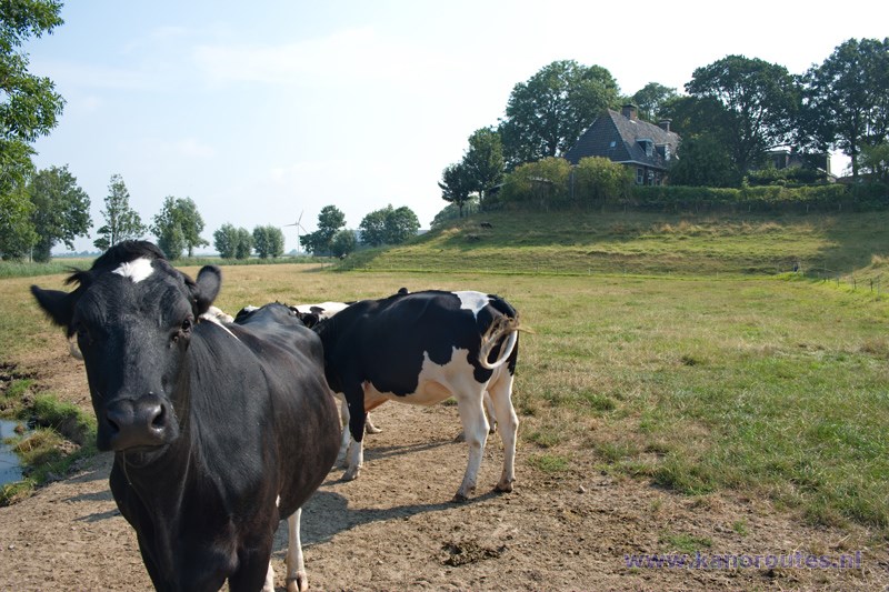
Hegebeintum.
This is the highest mound in the Netherlands.
It is worth visiting.
There is a visitors center.
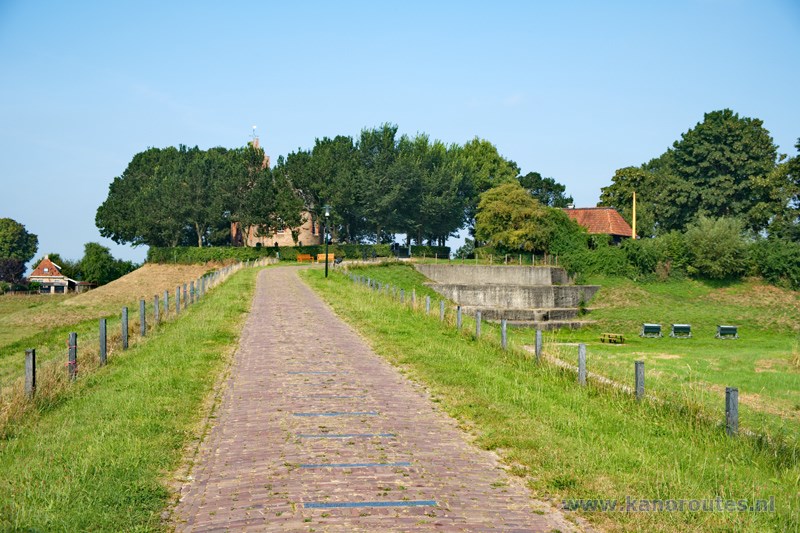
Hegebeintum.
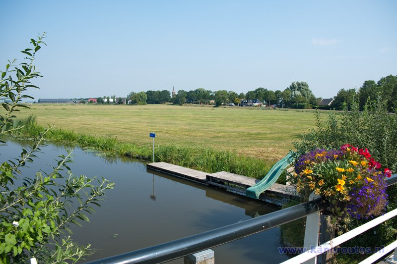
Bridge and kayak pier near Jislum.
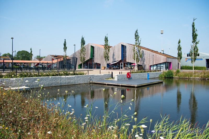
Kayak pier in Burdaard.
You pass throught the marina next to camping Mounehiem and follow the canal.
At the end of the canal is a kayak pier at the multifunctional center
It Spektrum.
From here it's a short walk to the restaurant at the bridge.

View on Burdaard from the bridge across the Dokkumer Ee.
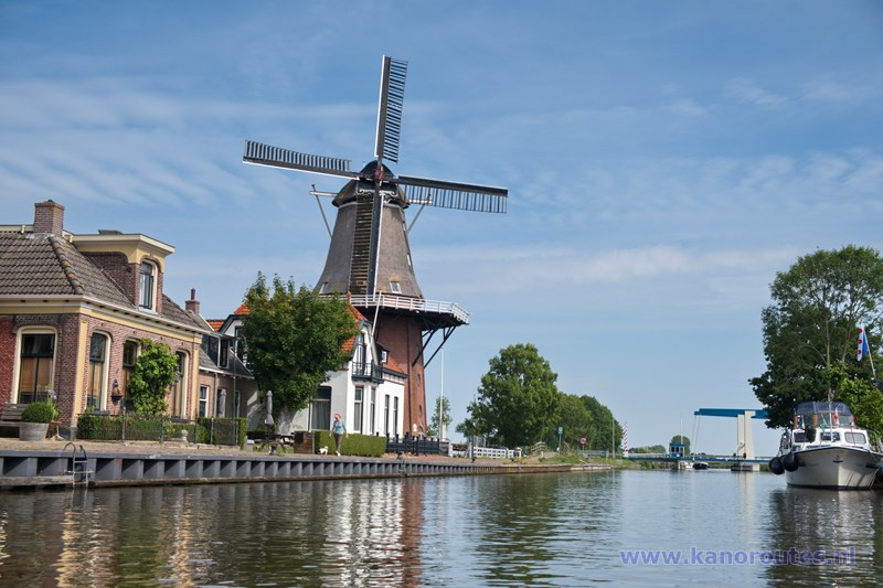
Mill at Burdaard.
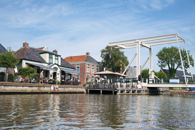
Hotel restaurant It Posthûs at the bridge of Burdaard.

Along the Dokkumer Ee between Tergreft and Bartlehiem.
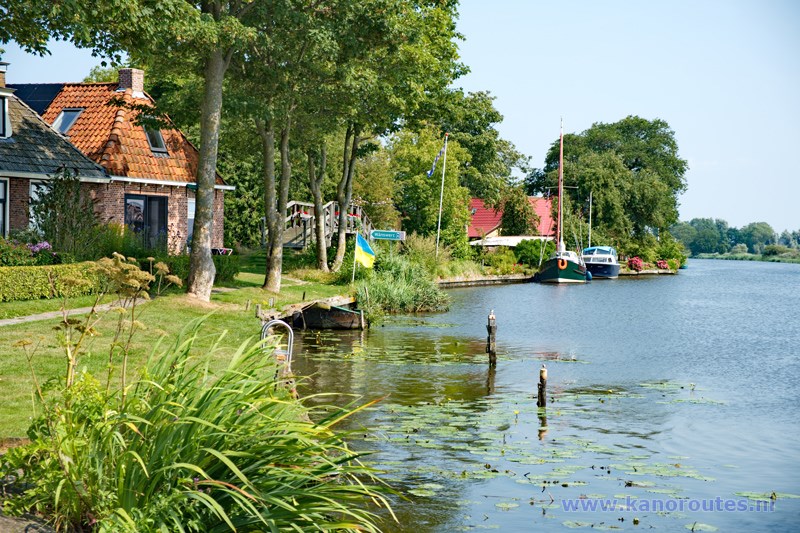
Tergreft. There is a place where you can swim.

Bike road along the canal to Wanswert.
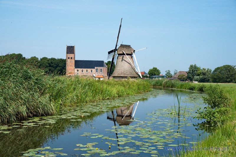
Windmill Victor and Petrus Church of Wanswert.
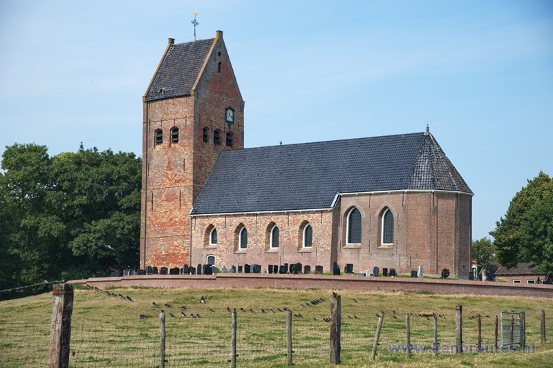
Petrus Church of Wanswert.
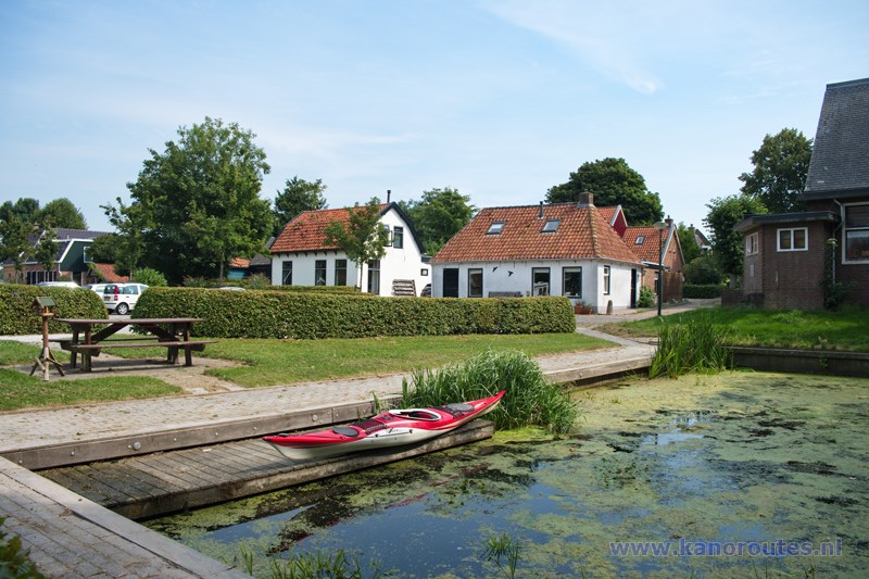
Kayak pier at the starting point Wanswert.
