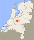
From Rhijnauen to the center of Utrecht is 6.5 km.
A trip on the Kromme Rijn from Rhijnauwen to Utrecht with round trip on the Minstroom with a visit of the Park Bloeyendael,
the Biltse Grift and Oudegracht makes a total of 21 km.
- Between Bunnik and Utrecht: Rijnstroom, Weg naar Rhijnauen 2, 3584 AD Utrecht. Tel.: 030-2521311.
- In the city center at Oudegracht 1, café Weerdzicht: Kayak rentals "Aan De Gracht".
Kayak rentals:
Starting point Rhijnauen:
Exit the A12 (Utrecht - Arnhem) at Bunnik. Follow the secundary road N411 in the direction Utrecht. Just outside Bunnik you see a sign directing to the right towards Rhijnauwen. After a short distance you come at a parking place just before the bridge. There is a floating kayak pier where you can start your trip. It can be rather crowded here, so for a parking place near the river you better come early.The Kromme Rijn meanders towards Utrecht through a beautiful landscape and the forest
Amelisweerd.
On a sunny Sunday afternoon you'll find many people kayaking and rowing on the river.
It will take an hour or more to reach the city center. About halfway between Rhijnauwen and the city center you pass kayak rental Rijnstroom.
A little further you pass the stadium Galgenwaard.
Then there is a small passage to the left where you can see the Lunetten. These are the remains of a fortification.
A little further there is a park on the right wiht a kayak pier.
When you apprach the city center you turn right on the Maliesingel.
Then turn right again on the Minstroom. This narrow canal leads towards the lake Zilveren Schaats (means silver skate).
Just before the lake you pass a weir. Usually it is open, but if it may be closed you can portage here.
Then turn left across the lake.
After a short distance you can turn right under the bridge of a main road for a visit of the Park Bloeyendael.
In the park there is a kayak pier where you can portage to the park.
The route towards the Kromme Rijn has a number of very low bridges where portage is not possible.
So you can only pass under if the water-level is low or if you're more flexible than I am...
For me it definitely was impossible to go under them when I was there.
Only at the kayak rental Rijnstroom portage is possible, but the distance is 300 meters and you have to cross a busy road (zebra with traffic lights).
For this route you go straight on on the Biltse Grift.
The canal bends to the left and you pass a park with the house Het Hoogeland.
The statue of the polar bear is a war memorial.
A little further the canal bends to the right under a bridge.
You continue on the Biltse Grift. After the Grift-park you come at the Maliesingel where you turn right.
At the end of the canal you turn left on the Oudegracht.
At the end of the Oudegracht you turn left, and right again.
Now you're back on the Kromme Rijn for the trip back to the starting point.
But of course you can make a detour by making a round on the Nieuwgracht (turn left) and back on the Maliesingel.

GPS Rhijnauen: N. 52.0683 E. 5.1778
GPS Kayak rental Rijnstroom: N. 52.0819 E. 5.1566.
On weekdays free parking after 11:00 a.m. (2021).

Downloadable GPS-track of 21 km around
Utrecht starting at Rhijnauen.
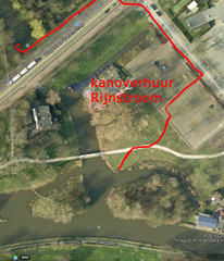
On the right you see the situation around kayak rental Rijnstroom.
The red line shows the way to place where you can launch your own kayak and how to portage to the canal.

Downloadable GPS-track of 20.6 km through the center of Utrecht starting at Rhijnauen.
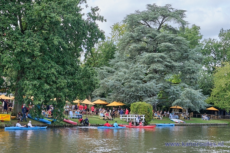
Teahouse Rhijnauwen on a summers day.
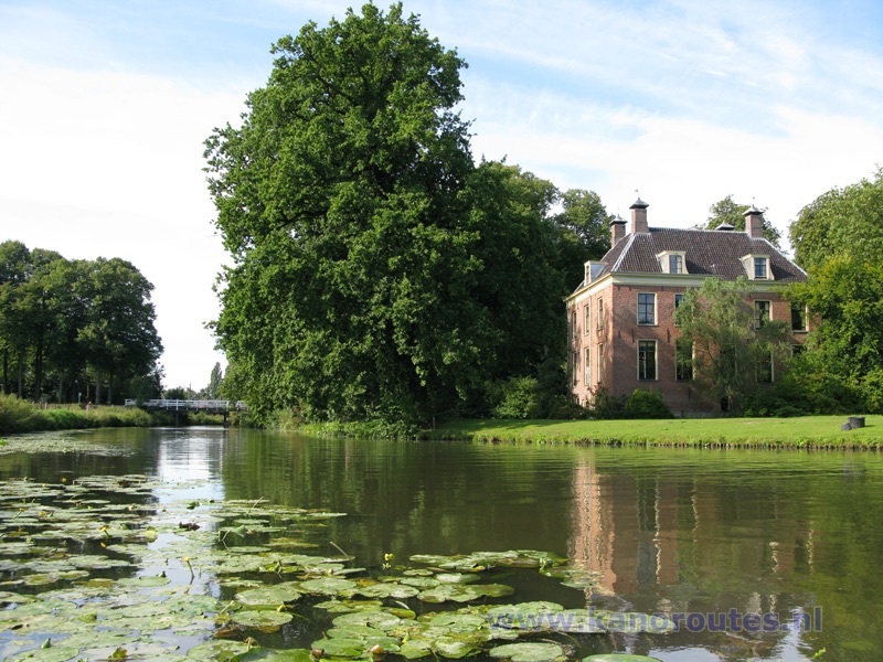
Rhijnauwen.

Rhijnauwen.

Amelisweerd.

House St. Hiëronymus with the entrance of the canal Minstroom.
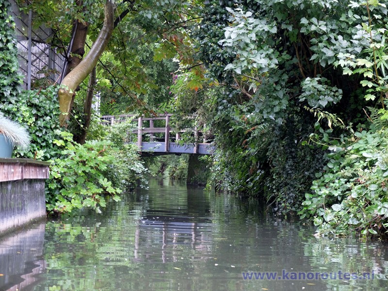
Minstroom.
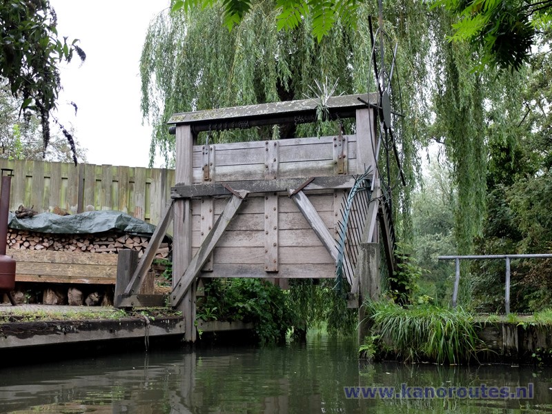
Weir in the Minstroom. If closed, portage is possible.

Park Bloeyendael with the Provinciehuis.

Het Hoogeland with statue of a polar bear.
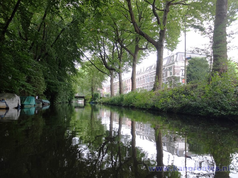
Biltse Grift at the Alexander Numankade.

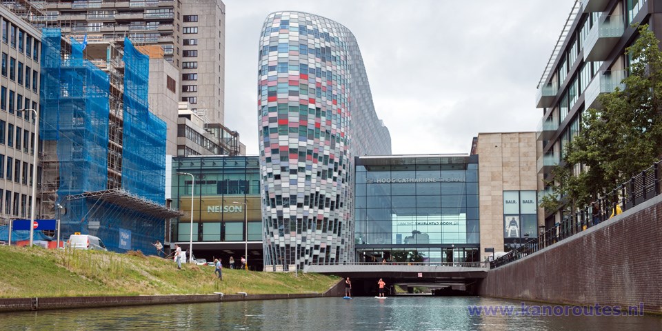
The Catharijnesingel was re-opend in 2020.
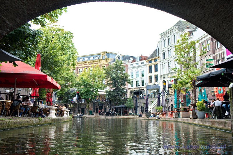
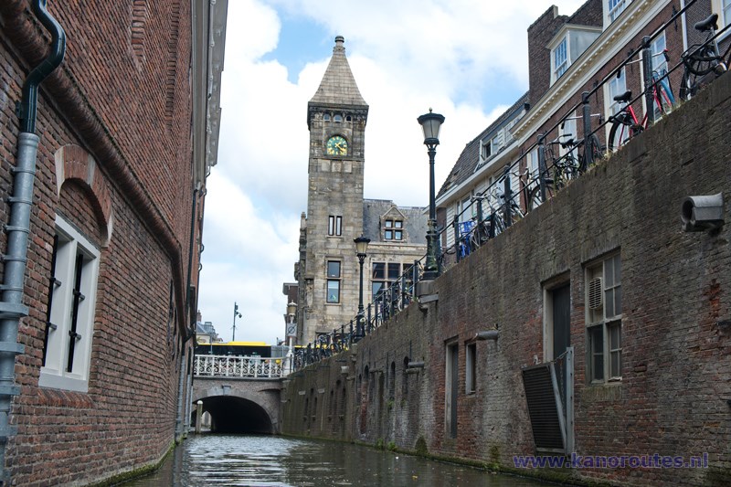
Oudegracht.
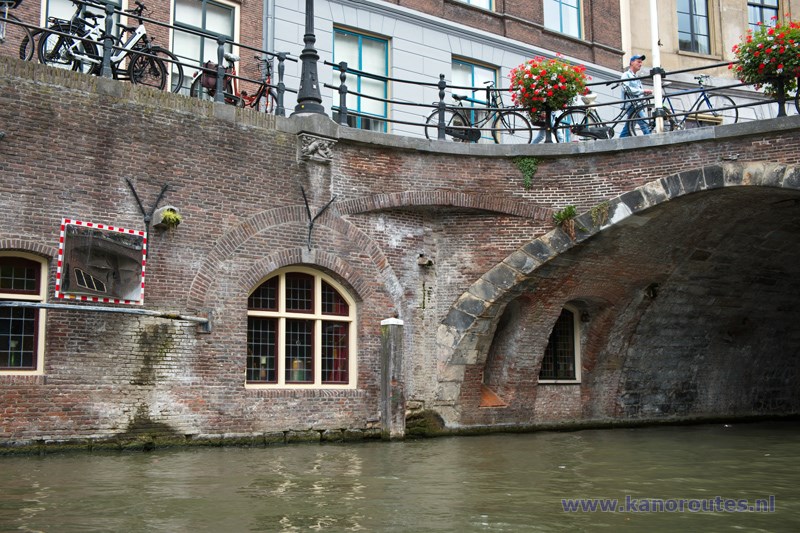
Oudegracht.

Oudegracht with the Domtoren in scaffolding (2021).
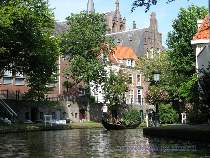
Oudegracht.

Artwork along the Oudegracht.

Oudegracht.
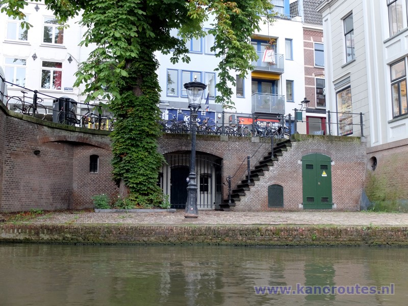
Oudegracht.

Nieuwegracht.
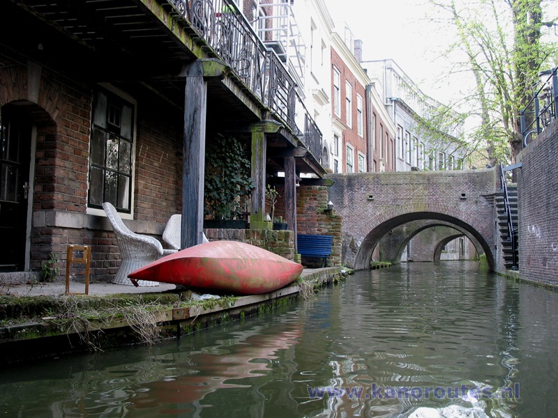
Nieuwegracht.

Nieuwegracht.
