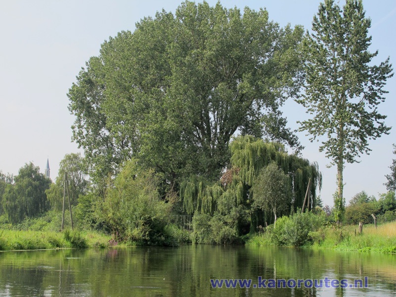
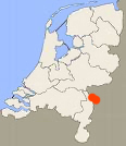
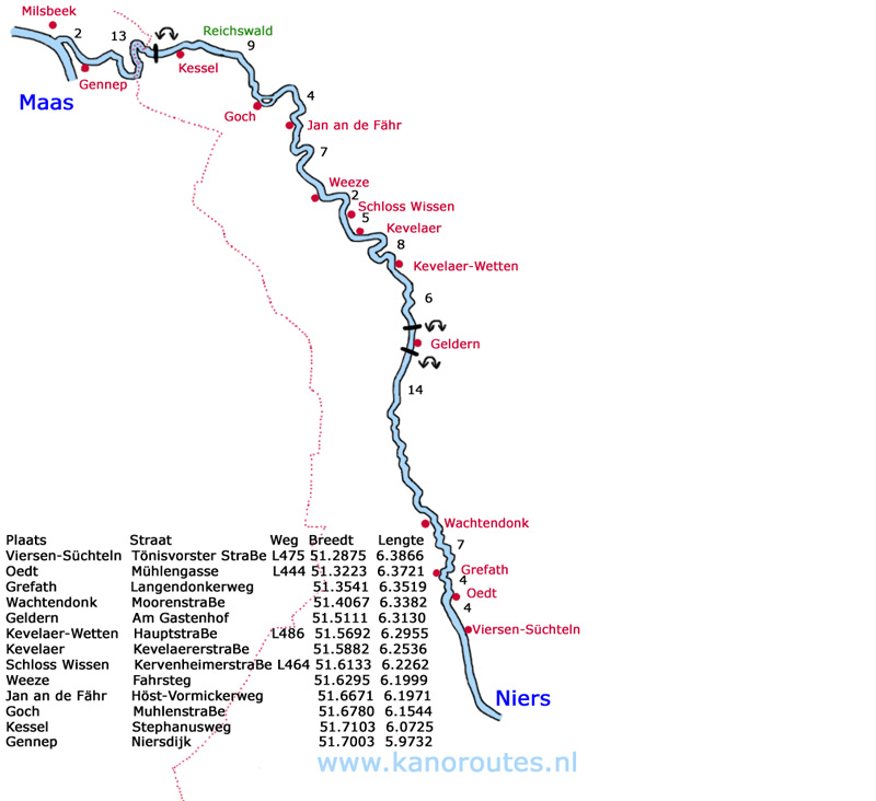
The Niers is a 114 km long river just across the border in Germany. It is navigatable from Süchteln near Viersen to Milsbeek in the Netherlands where it pours into the river Maas. Total navigatable distance is 65 km, and 8 km of it in the Netherlands. Passed Kessel towards the Dutch border the river is closed for boats for about 1 km. The current is about 2km/h, depth about 1 meter. In Germany there are good facilities for kayaking on the river like kayak piers and often toilets as well. Kayaking is very popular here. Most people use rented boats so that they can be picked up at an agreed point after kayaking. There is plenty of room at the kayak piers for unloading and loading kayaks, but often it's not allowed to park directly at the pier.
Kanyak rentals in the Netherlands:
Roepaen (for a short tour of 7 km. only), Kleefseweg 9, 6595 NK Ottersum, Tel: 0485-516070- Kesseler Bootsverleih, Tel.: 02831 - 1344849
- Niers Touren, Josef Goetzens, Tel.: 02836 - 900795
- Niederrhein Kanu, Ulrich Sander, Blatehof 23, D-47665 Sonsbeck, Tel: 02838 - 779060
- Gocher Nierstouren, Juergen Schoofs, Vossheiderstraße 55 / 57, 47574 Goch, Tel.: 02823 - 86407
- Holleshof, Familie Waerdt, Schlecker Deich 2, 47669 Wachtendonk, Tel.: 02836 - 1576
- Bako-Special-Tours, Tel.: 02162– 350416
- Bootsverleih Kösters, Tel.: 02838 - 7767980
- Bootsverleih Niederrhein, R.Gehrmann, Seegerheide 37, 47625 Kevelaer - Wetten, Tel:02832 - 951727
Kayak rental in Germany:
In July 2011 I've been navigating the Niers with my son for two days. The idea was to kayak from Wachtendonk to Schloss Wissen (33 km) on day one, and from Schloss Wissen to Gennep (35 km) on the second day. We brought a bike and we left it at the kayak pier at Schloss Wissen. Then we drove to Wachtendonk to start our kayak trip.
Wachtendonk to Schloss Wissen
At Wachtendonk there is a large field at the kayak pier near the village center, but it may only be used for (un)loading kayaks. You must park at another small parking area or in a street. Unfortunately there was a fair going on, so it was difficult to find a parking place. Some people parked the car on the field although a special sign by the mayor of Wachtendonk requests you not to do so. We put the kayaks into the water and we were on the way for the first 14 km towards Geldern. After a short distance we came at a small weir. The hight is only a few cm and we could go over it with no problems. The last stretch towards Geldern the river narrows and current increases. I sign says: "Liebe Paddler..." (Dear paddler, you now enter the restored Niers. Stop paddling and flow with the river to get the best view). It is only 1 km and at the last bend there is a bench on the right where you can take a break. Just before Geldern you come at another weir at a railroad bridge. Passing it is not allowed, and there are kayak piers to make portage easy. You don't see much of Geldern, just the back of some houses and commercial buildings. After Geldern there's another weir and kayak piers for portage. After Geldern you pass Wetten. Then the river makes some bends and you pass Kevelaer. The river is wider here and there's less current. Then finally you come at the weir near Schloss Wissen. This was the destination for the first day. We paddled 33 km in 5 hours and 30 minutes including a half hour break near Geldern. We're experienced paddlers and we go (a lot) faster than the people we saw in rented boats, but we stopped from time to time to make photo's and have a drink. If you're less experienced this trip will take maybe 7 hours or more.Jan an de Fähr to Gennep
On day 2 we didn't want to make a longer trip than the day before, so we decided to start at Jan an de Fähr, 4 km before Goch. Distance to our destination Gennep 26 km. In Gennep there is a good landing site (no pier) behind the St. Martinus Church with the sign "Ik ben er" at the Niersdijk. We left the bike there and then we drove to Jan an de Fähr to start the kayak trip. There is a footferry (although there also is a bridge nearby), a restaurant with beer-garden and a toilet at the kayak-pier. The second half of the field at the kayak-pier is meant for (un)loading kayaks. You can park before the no-parking sign near the road. The river is a little wider here although it seems the current is still about 2 km/h. After 4 km we came at Goch. On the right you pass the Susmühle, a former watermill dating from about 1700. At the end of the 19th century there were 52 active watermills in the Niers. This is just one of the few remaining. In 1932 the flow of the Niers was changed and the water-level dropped about 2 meters making the watermill useless. At the watermill the river splits and you can take either the left or the right branch. On the left branch you pass a kayak-pier at a park in the city and the St. Maria Magdalena Church. After Goch you pass through the beautiful Reichswald (State-forest). There are many raspberries on the side but the current makes it difficult to pick some. After 9 km you come at Kessel. There is a kayak pier at the church on the left. This is the final pick-up point for German kayak rentals. At the next bridge a sign indicates it's prohibited to navigate any further. It seemed a little further there's a gate in the water, so we took the kayaks out and walked passed it. But when we came closer it appeared they are just light aluminum tubes hanging in the water and it's no problem kayaking through them. But a little further another obstacle appeared: a diagonal tube floating on the water that directs floating debris and plants to one side where a herb receiving system with sharp pins scoops de debris out. A sign warns "danger of death, no passage allowed". We could go on the side, but it was clear that portage is not possible as a large gate separates the machine fom the road across the bridge. For us there was no turning back as the bike was waiting for us in Gennep. As the machine was not working at the time we decided to climb on the tube, pulled the kayaks across and continued. There was a man the machine watching us, but he asked no questions... A little further there's a high gate with huge amounts of barbed wire on the left side. This is a military terrain and you may not make photo's of it. As nobody ever comes here, we saw some deer on the side. When the river bend to the left of forms the border between Germany and the Netherlands. The Netherlands is on the right. At the next bend to the right both sides of the river are in the Netherlands. You pass Ottersum on the right and then you come at Gennep where you go to the side on the left at the St. Martinus Church "Ik ben er" (Here I am) referring to the bible Exodus 3:4.Portage near Kessel 1 km
After you passed the church of Kessel you go to the side (left) at the first bridge. There is a sign "Durchfahrt verboten". follow the path along the river. You go under the next bridge (a bit muddy here). Just before the obstacle the path makes a bend to the left, and then to the right again. You come at a road and you turn right across the bridge. A little further you come at the Niers. There are no piers, but with some efford you can go back to the river here.
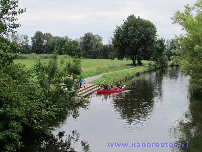
Kayak pier in Wachtendonk, Germany.

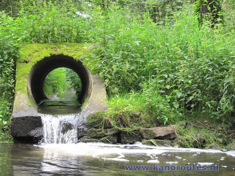

Portage at the weir near the railroad bridge in Geldern.


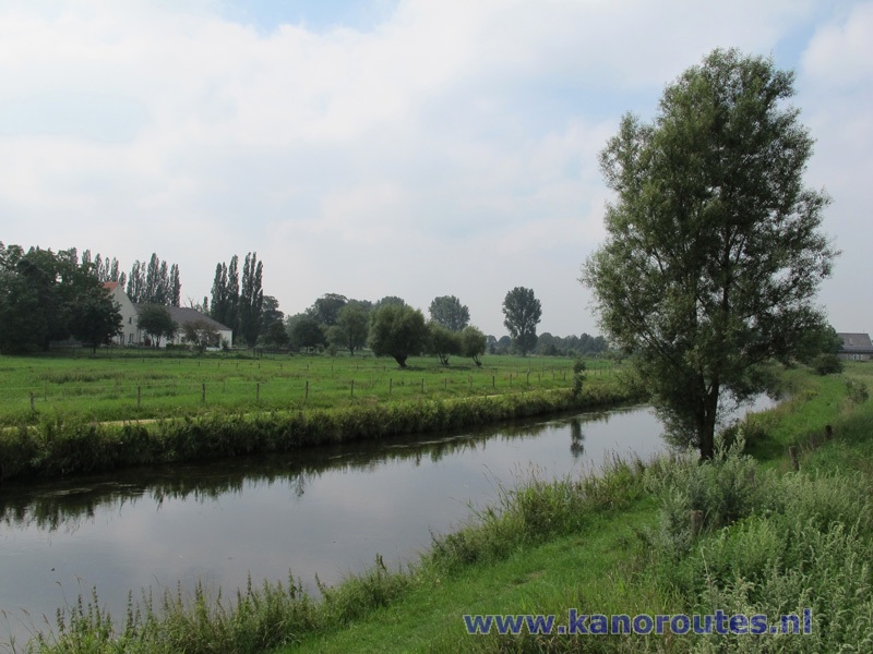
At Jan an de Fähr

Kayak pier at Jan an de Fähr.


Susmühle in Goch.

St. Maria Magdalena Church in Goch
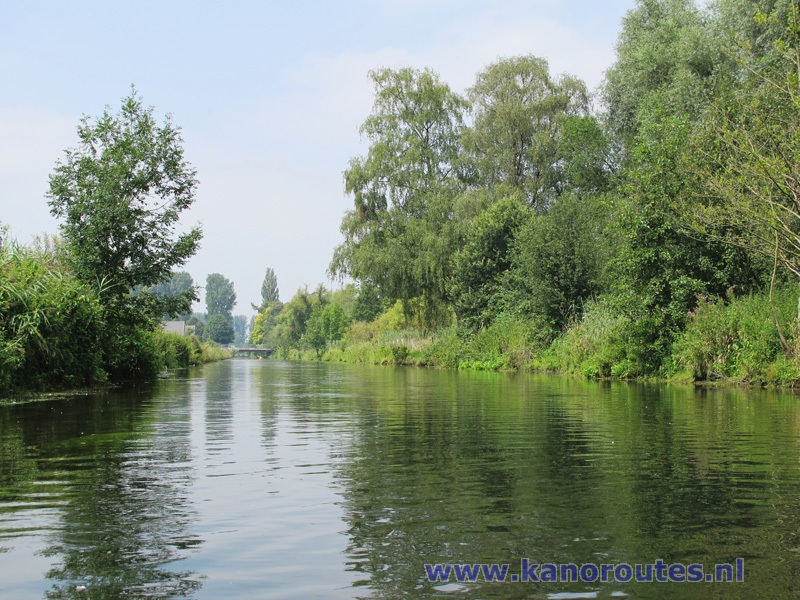
Niers

Durchfahrt verboten bei der Krautfanganlage. One kilometer passed Kessel the river is blocked by a diagonal tube that directs floating debris and plants to one side where a herb receiving system with sharp pins scoops de debris out. It is possible to stand on the tube, pull the kayak across it and continue paddling on the other side but it requiers some competence (and it's prohibited).
Update 2015: An opening is made in the tube for kayaks to pass through.

River Niers in the Netherlands.
